Back to Explore
🐴
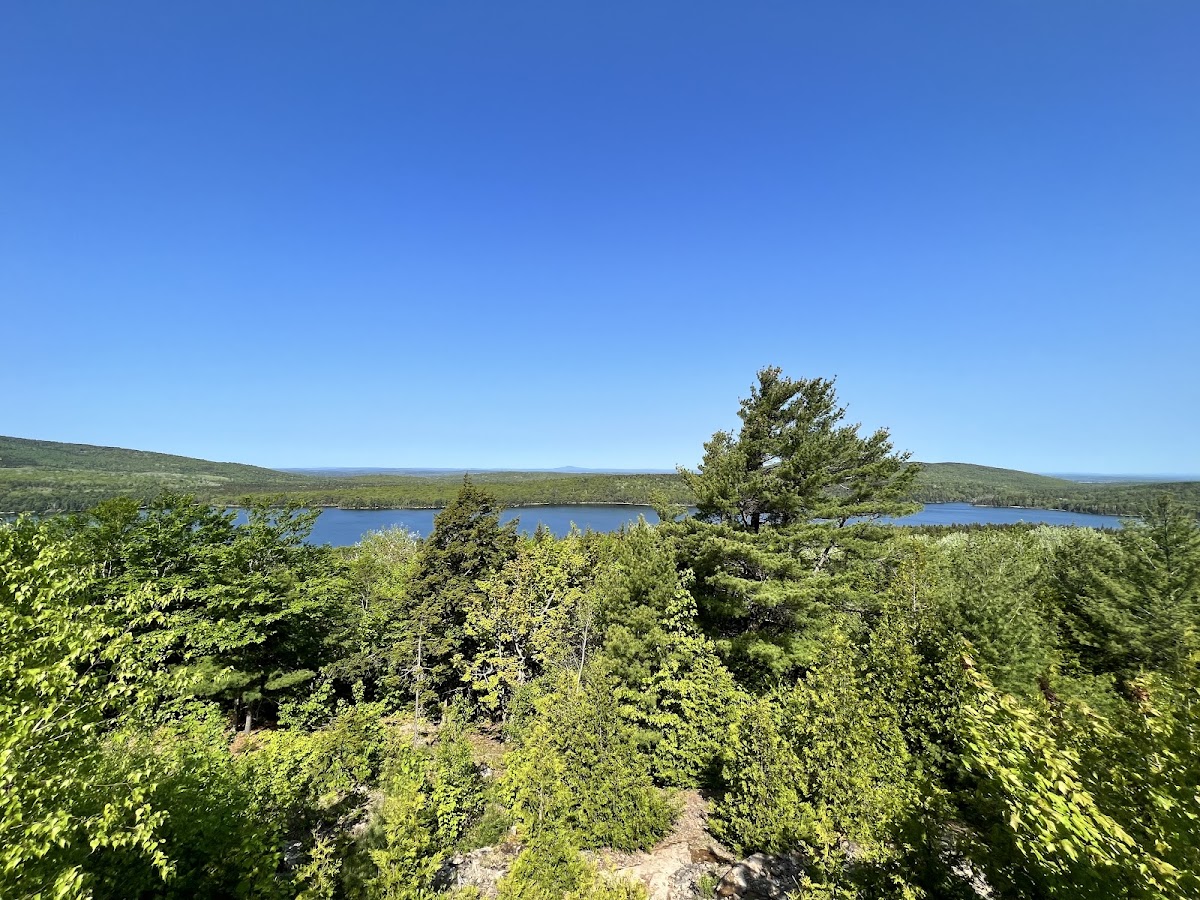
Witch Hole Pond Carriage Road
Horse Trail · ME
3.34
Miles
203
Ft Gain
Moderate
gravel
Surface
🔄 Loop Trail
Trail Details
- Distance
- 3.34 mi (5.38 km)
- Elevation Gain
- 203 ft (62 m)
- Elevation Loss
- 203 ft (62 m)
- Elevation Range
- 45m - 86m
- Difficulty
- moderate
- Surface
- gravel
- Type
- Horse Trail
- Route
- Loop
Elevation Profile
5.3 km total
0 km5.3 km
Access & Rules
🚴 Bikes OK🐴 Horses OK🐕 Dogs (leash)
Trail data sourced from OpenStreetMap contributors. OSM Way #11428513.
Take This Trail Offline
Download the map for this area — topo, terrain, and trail lines work without cell signal.
Plan a Trip on This Trail
Organize a group hike, share gear lists, and coordinate logistics.
Create a Trip →