Back to Explore
🥾
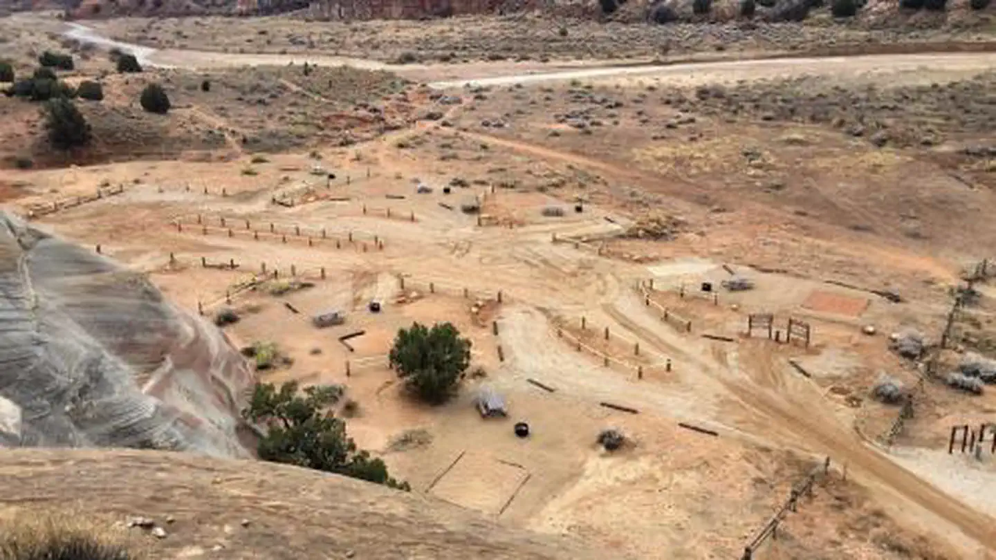
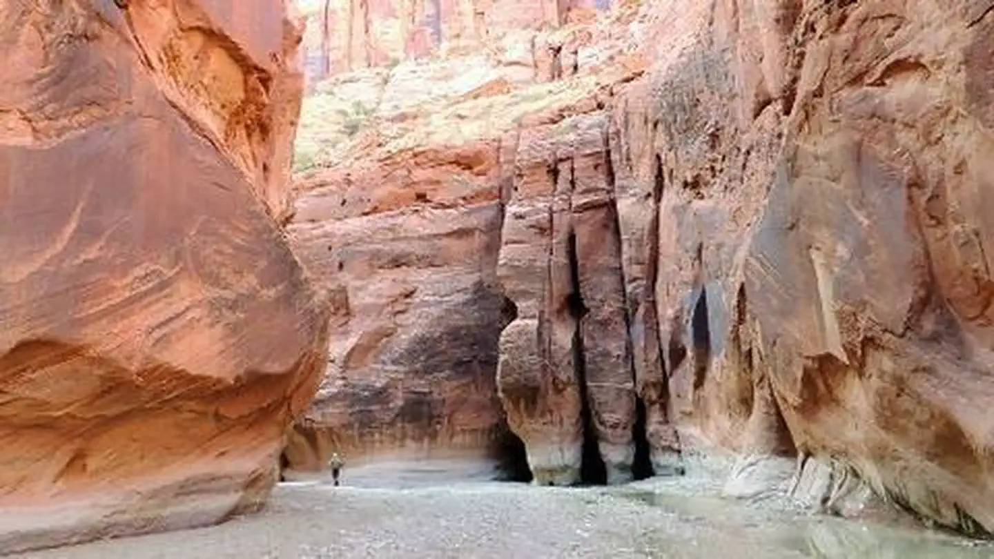
White House / Paria River Trail
Hiking Trail · UT
7.25
Miles
85
Ft Gain
Moderate
dirt
Surface
Trail Details
- Distance
- 7.25 mi (11.67 km)
- Elevation Gain
- 85 ft (26 m)
- Elevation Loss
- 197 ft (60 m)
- Elevation Range
- 1282m - 1316m
- Difficulty
- moderate
- Surface
- dirt
- Type
- Hiking Trail
- Route
- Out & Back
Elevation Profile
11.0 km total
0 km11.0 km
Access & Rules
📋 Permit Required🚴 No Bikes🐴 No Horses🐕 No Dogs
Trail data sourced from OpenStreetMap contributors. OSM Way #1086758234.
Take This Trail Offline
Download the map for this area — topo, terrain, and trail lines work without cell signal.
Plan a Trip on This Trail
Organize a group hike, share gear lists, and coordinate logistics.
Create a Trip →