Back to Explore
🚴
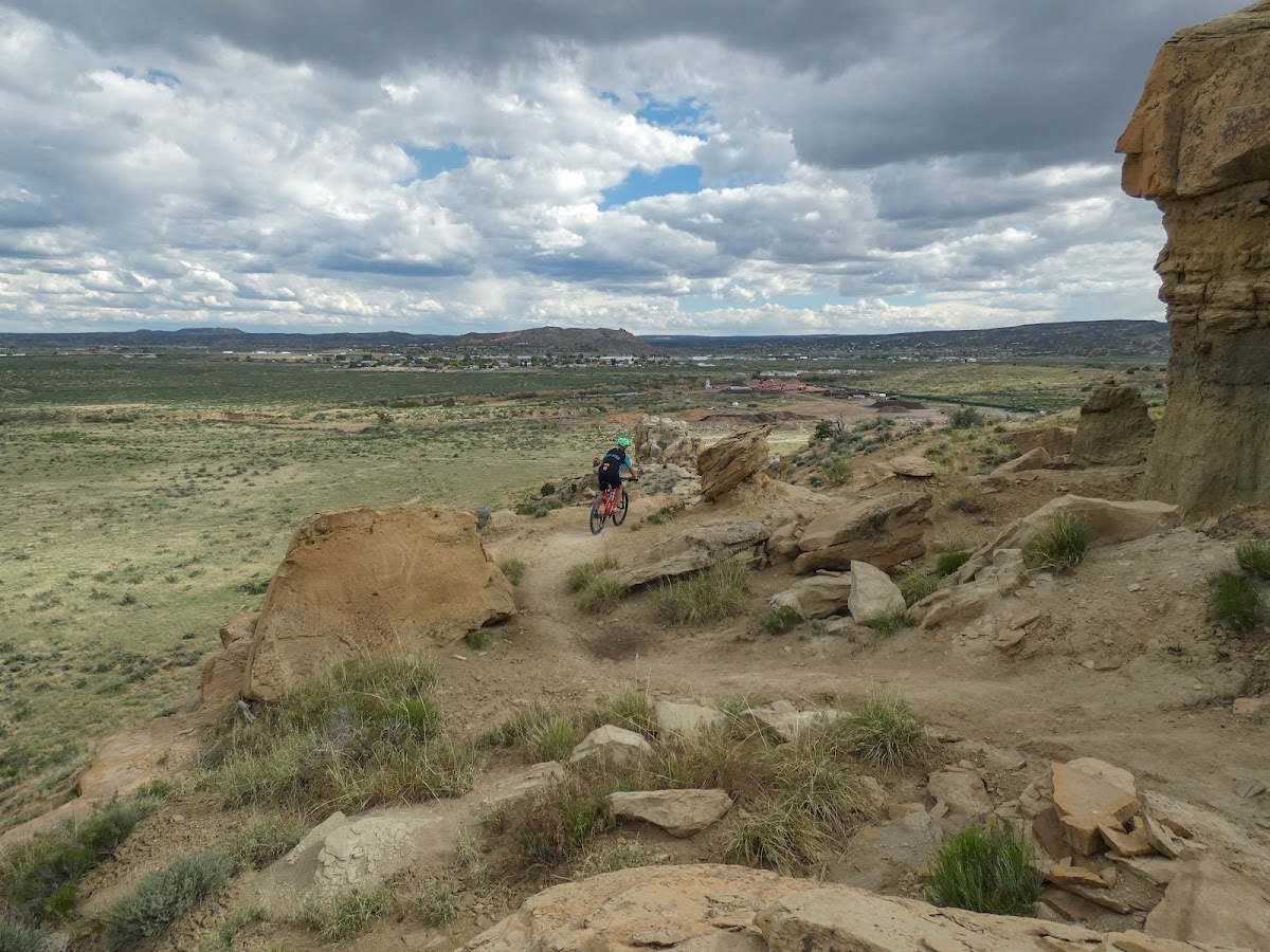
Western loop of High Desert Trail System
Bike Trail · NM
2.53
Miles
299
Ft Gain
Easy
🔄 Loop Trail
Trail Details
- Distance
- 2.53 mi (4.07 km)
- Elevation Gain
- 299 ft (91 m)
- Elevation Loss
- 299 ft (91 m)
- Elevation Range
- 1977m - 2040m
- Difficulty
- easy
- Surface
- —
- Type
- Bike Trail
- Route
- Loop
Elevation Profile
3.6 km total
0 km3.6 km
Access & Rules
🚴 Bikes OK
Trail data sourced from OpenStreetMap contributors. OSM Way #194236151.
Take This Trail Offline
Download the map for this area — topo, terrain, and trail lines work without cell signal.
Plan a Trip on This Trail
Organize a group hike, share gear lists, and coordinate logistics.
Create a Trip →