Back to Explore
🚴
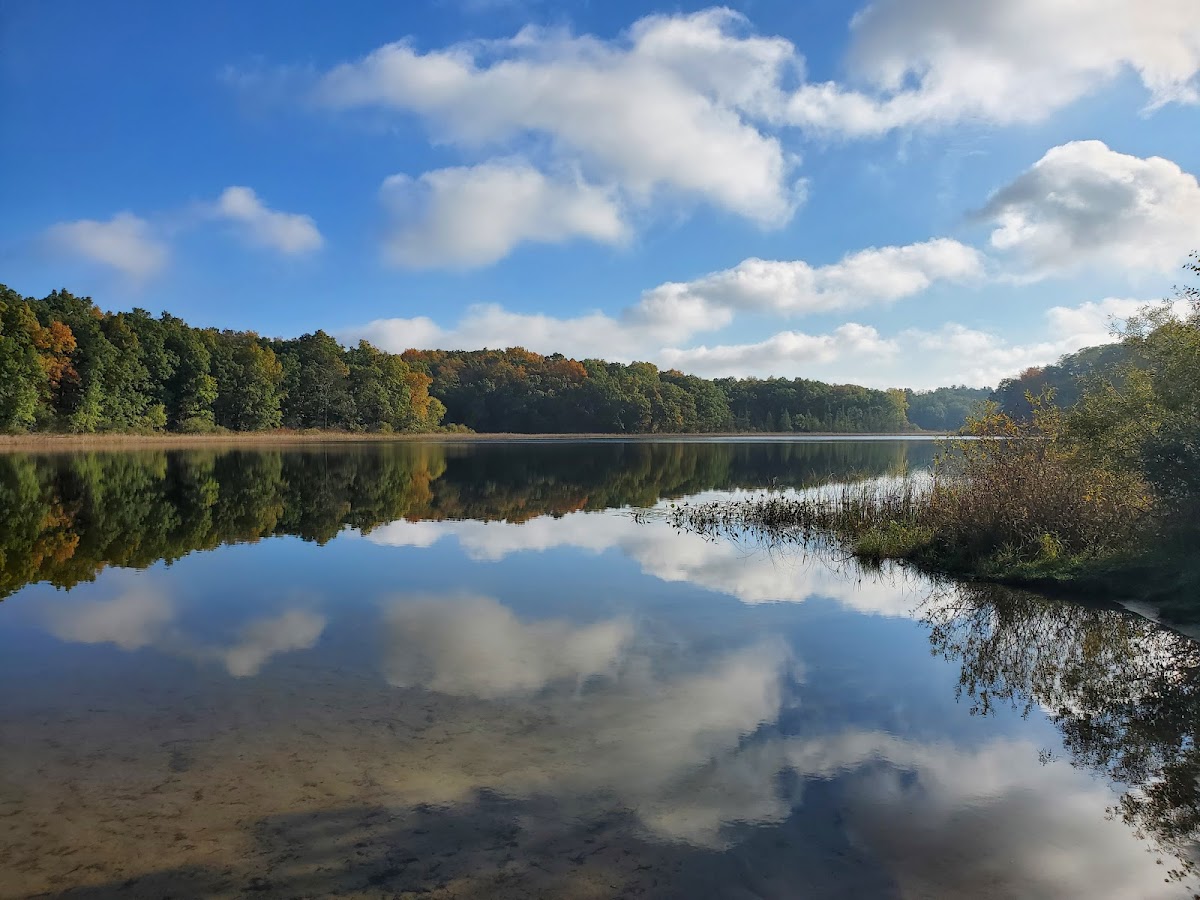
TK Lawless MTB Trail - Big Dipper
Bike Trail · MI
5.28
Miles
226
Ft Gain
Moderate
dirt
Surface
Trail Details
- Distance
- 5.28 mi (8.49 km)
- Elevation Gain
- 226 ft (69 m)
- Elevation Loss
- 236 ft (72 m)
- Elevation Range
- 267m - 283m
- Difficulty
- moderate
- Surface
- dirt
- Type
- Bike Trail
- Route
- Out & Back
Elevation Profile
5.5 km total
0 km5.5 km
Access & Rules
🚴 Bikes OK
Trail data sourced from OpenStreetMap contributors. OSM Way #202408714.
Take This Trail Offline
Download the map for this area — topo, terrain, and trail lines work without cell signal.
Plan a Trip on This Trail
Organize a group hike, share gear lists, and coordinate logistics.
Create a Trip →