Back to Explore
🐴
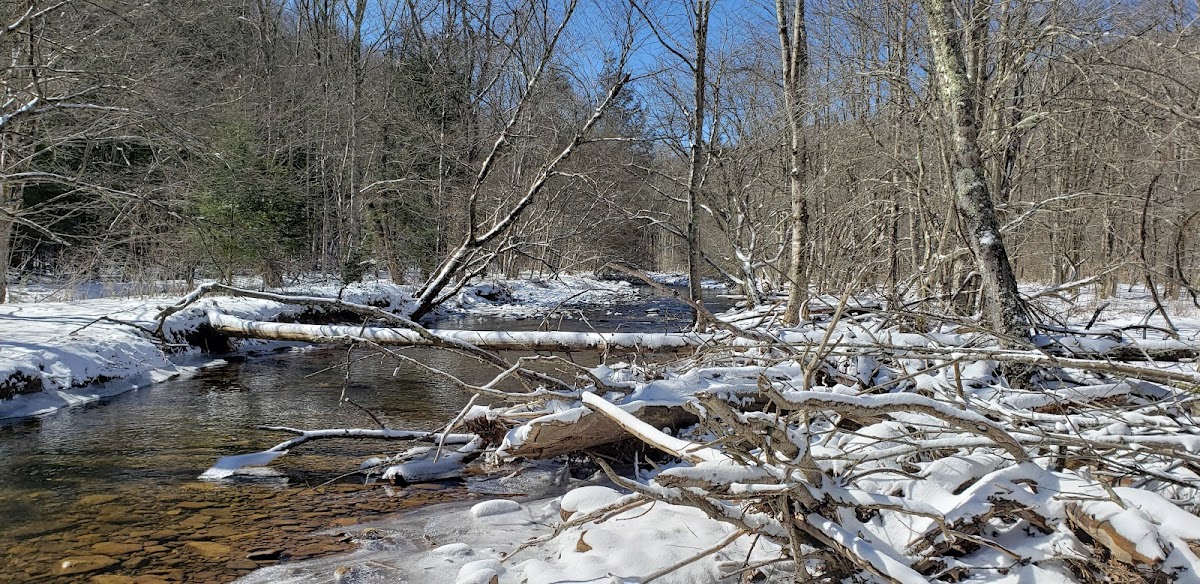
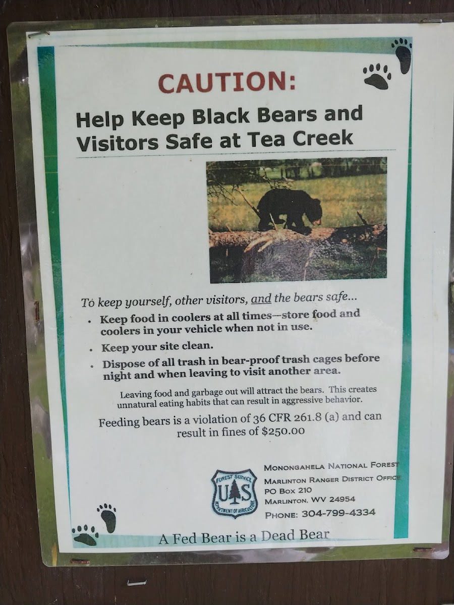
Tea Creek Mountain Trail (452)
Horse Trail · VA
4.22
Miles
1,654
Ft Gain
Moderate
dirt
Surface
Trail Details
- Distance
- 4.22 mi (6.79 km)
- Elevation Gain
- 1,654 ft (504 m)
- Elevation Loss
- 410 ft (125 m)
- Elevation Range
- 910m - 1370m
- Difficulty
- moderate
- Surface
- dirt
- Type
- Horse Trail
- Route
- Out & Back
Elevation Profile
6.7 km total
0 km6.7 km
Access & Rules
🐴 Horses OK
Trail data sourced from OpenStreetMap contributors. OSM Way #465656741.
Take This Trail Offline
Download the map for this area — topo, terrain, and trail lines work without cell signal.
Plan a Trip on This Trail
Organize a group hike, share gear lists, and coordinate logistics.
Create a Trip →