Back to Explore
🐴
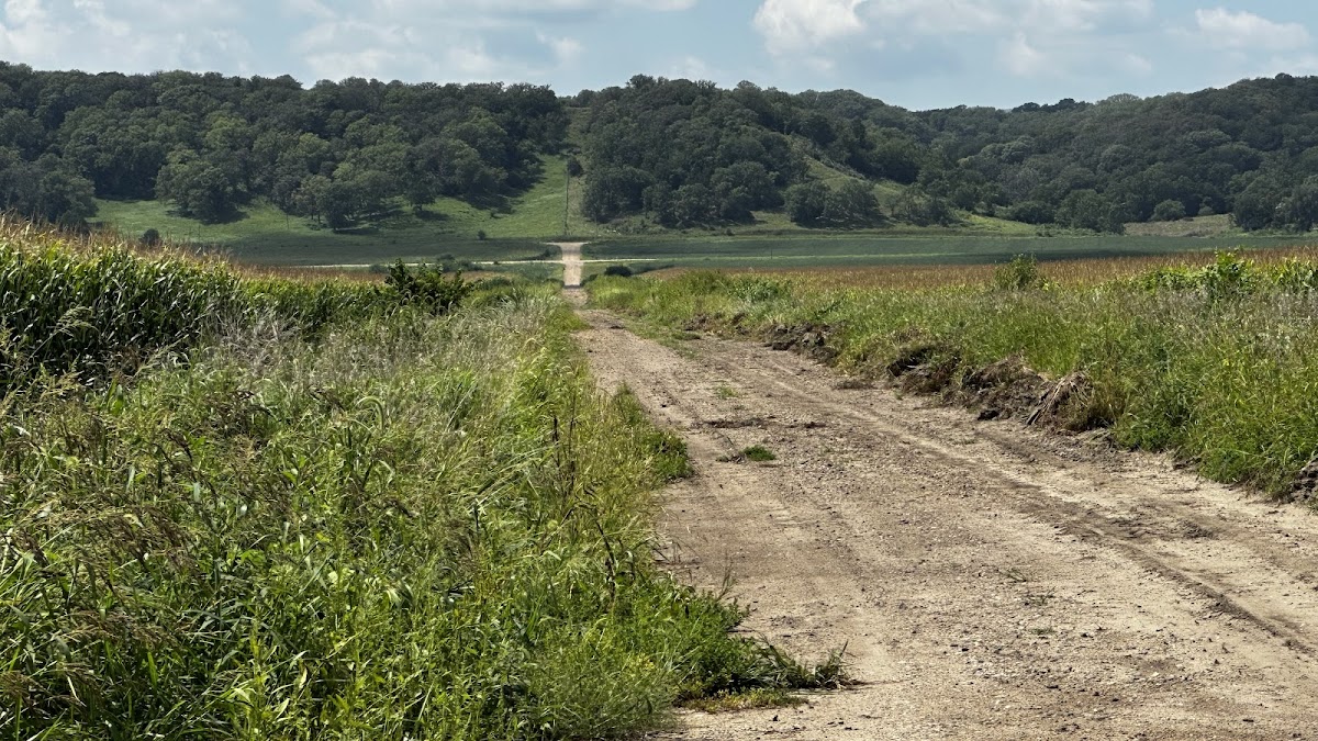
Southwood Interpretive Trail
Horse Trail · IA
2.26
Miles
338
Ft Gain
Easy
mixed
Surface
🔄 Loop Trail
Trail Details
- Distance
- 2.26 mi (3.64 km)
- Elevation Gain
- 338 ft (103 m)
- Elevation Loss
- 338 ft (103 m)
- Elevation Range
- 353m - 411m
- Difficulty
- easy
- Surface
- mixed
- Type
- Horse Trail
- Route
- Loop
Elevation Profile
3.4 km total
0 km3.4 km
Access & Rules
🐴 Horses OK
Trail data sourced from OpenStreetMap contributors. OSM Way #337245592.
Take This Trail Offline
Download the map for this area — topo, terrain, and trail lines work without cell signal.
Plan a Trip on This Trail
Organize a group hike, share gear lists, and coordinate logistics.
Create a Trip →