Back to Explore
🥾
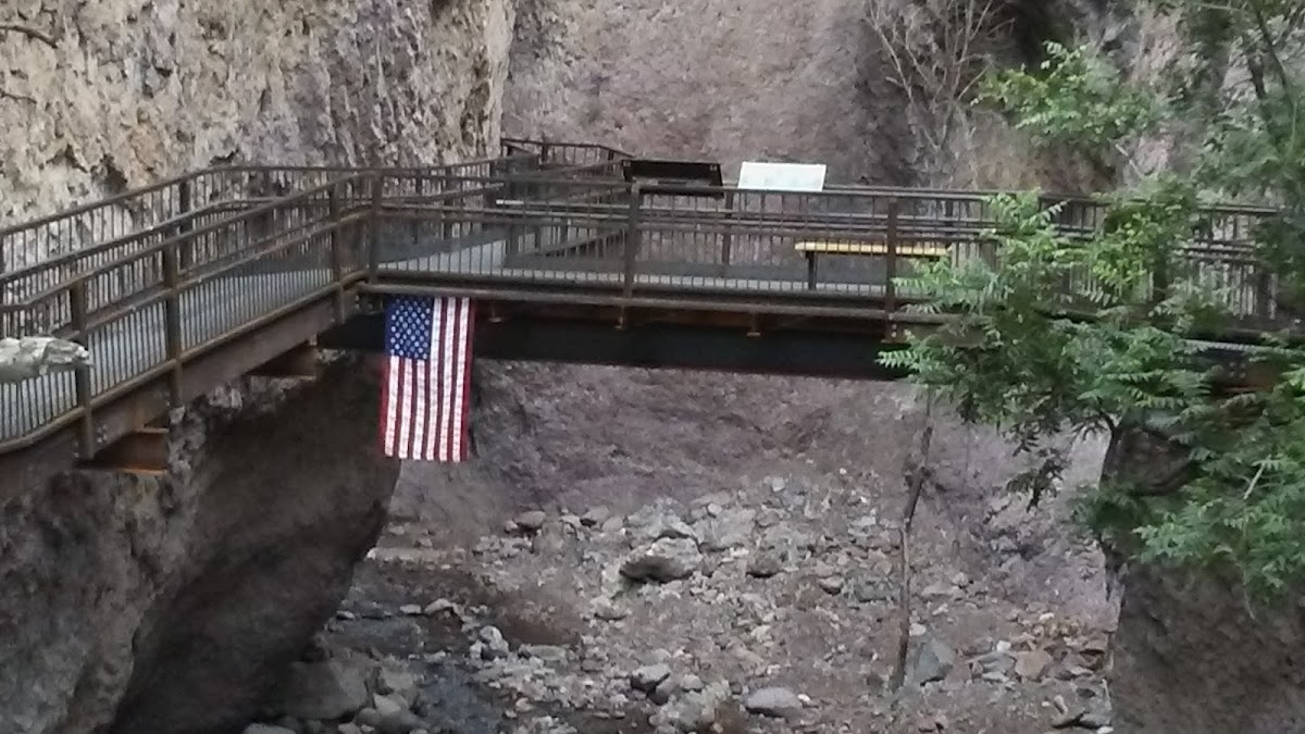
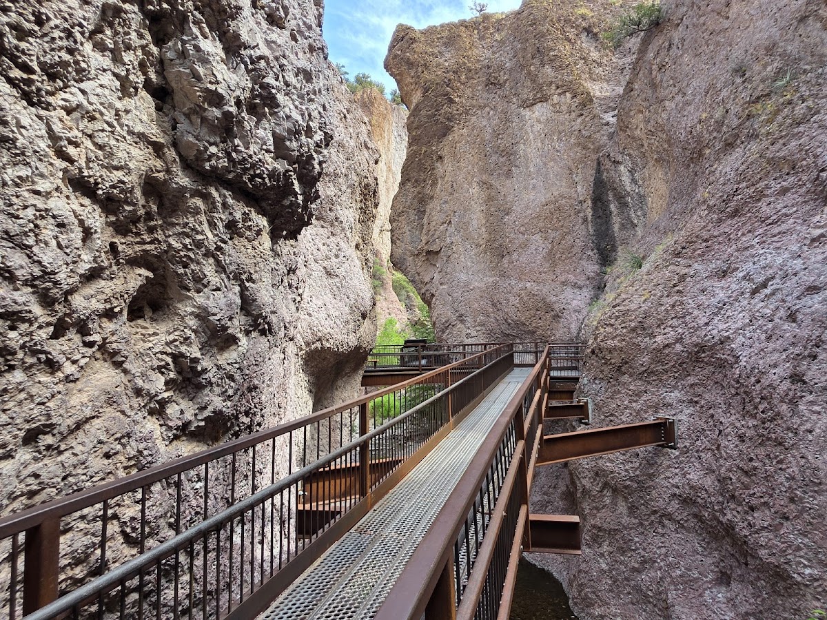
Southfork Whitewater Trail #212
Hiking Trail · NM
6.68
Miles
85
Ft Gain
Moderate
dirt
Surface
Trail Details
- Distance
- 6.68 mi (10.75 km)
- Elevation Gain
- 85 ft (26 m)
- Elevation Loss
- 2,867 ft (874 m)
- Elevation Range
- 1732m - 2580m
- Difficulty
- moderate
- Surface
- dirt
- Type
- Hiking Trail
- Route
- Out & Back
Elevation Profile
9.9 km total
0 km9.9 km
Trail data sourced from OpenStreetMap contributors. OSM Way #243511172.
Take This Trail Offline
Download the map for this area — topo, terrain, and trail lines work without cell signal.
Plan a Trip on This Trail
Organize a group hike, share gear lists, and coordinate logistics.
Create a Trip →