Back to Explore
🐴
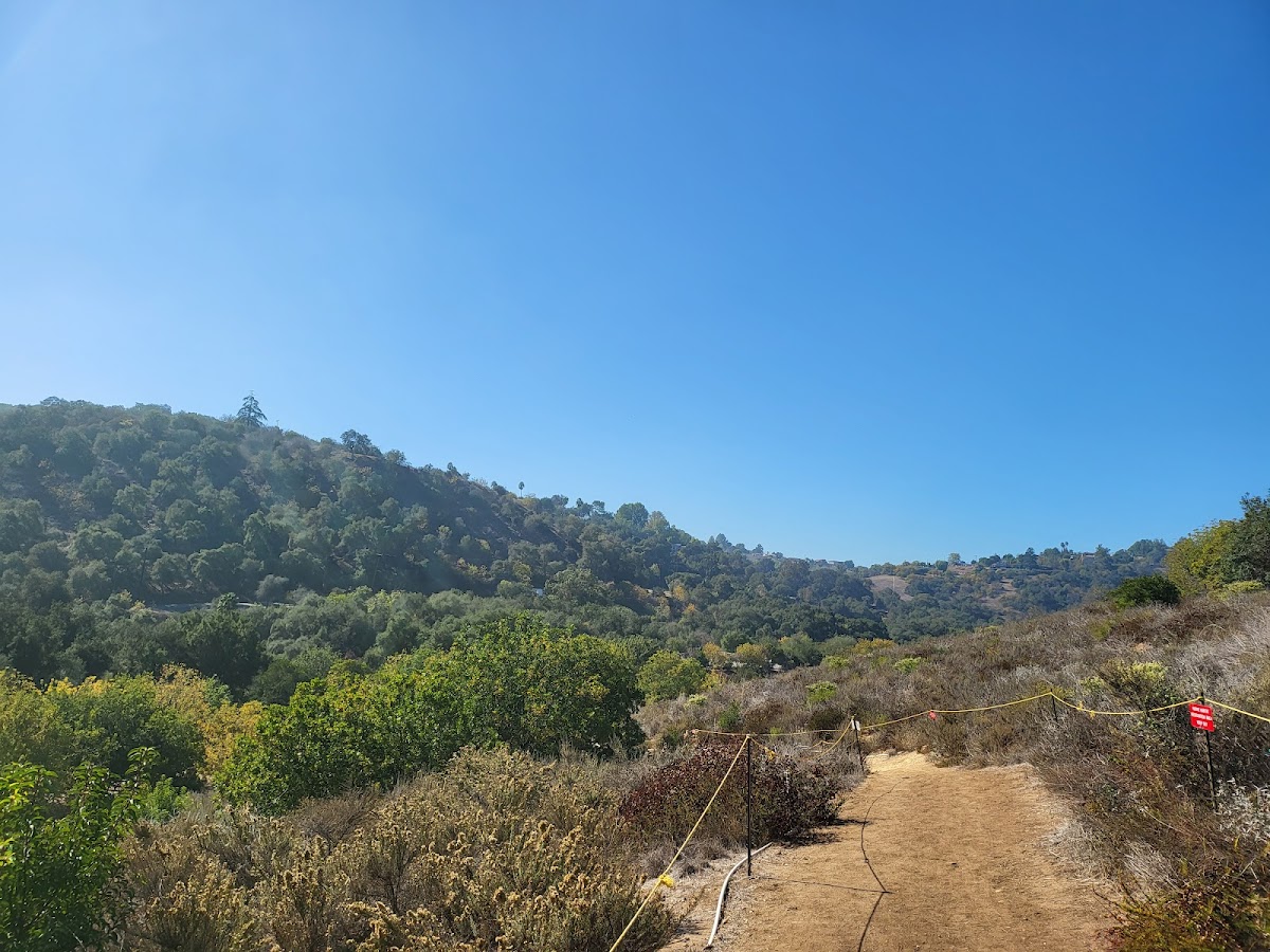
Schabarum-Skyline Trail - Azusa/Colima Connector
Horse Trail · CA
0.79
Miles
59
Ft Gain
Easy
dirt
Surface
Trail Details
- Distance
- 0.79 mi (1.27 km)
- Elevation Gain
- 59 ft (18 m)
- Elevation Loss
- 200 ft (61 m)
- Elevation Range
- 153m - 197m
- Difficulty
- easy
- Surface
- dirt
- Type
- Horse Trail
- Route
- Out & Back
Elevation Profile
1.3 km total
0 km1.3 km
Access & Rules
🚴 Bikes OK🐴 Horses OK🐕 Dogs (leash)
Trail data sourced from OpenStreetMap contributors. OSM Way #554392233.
Take This Trail Offline
Download the map for this area — topo, terrain, and trail lines work without cell signal.
Plan a Trip on This Trail
Organize a group hike, share gear lists, and coordinate logistics.
Create a Trip →