Back to Explore
🐴
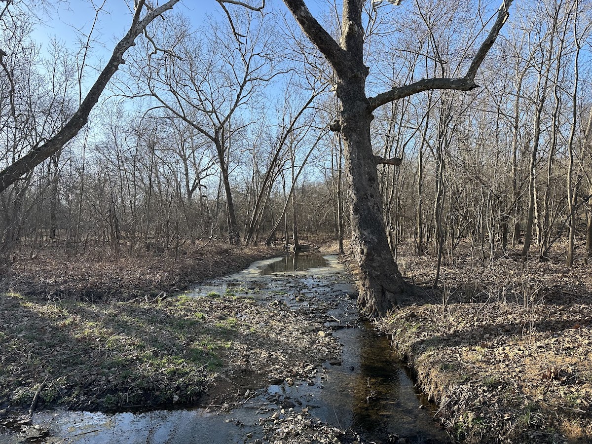
Rutledge Bluff Overlook Trail
Horse Trail · MO
6.74
Miles
499
Ft Gain
Moderate
mixed
Surface
Trail Details
- Distance
- 6.74 mi (10.84 km)
- Elevation Gain
- 499 ft (152 m)
- Elevation Loss
- 515 ft (157 m)
- Elevation Range
- 265m - 309m
- Difficulty
- moderate
- Surface
- mixed
- Type
- Horse Trail
- Route
- Out & Back
Elevation Profile
9.3 km total
0 km9.3 km
Access & Rules
🚴 Bikes OK🐴 Horses OK
Trail data sourced from OpenStreetMap contributors. OSM Way #731213571.
Take This Trail Offline
Download the map for this area — topo, terrain, and trail lines work without cell signal.
Plan a Trip on This Trail
Organize a group hike, share gear lists, and coordinate logistics.
Create a Trip →