Back to Explore
🔀
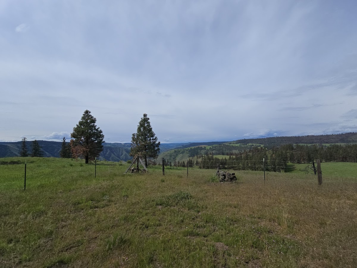
Rattlesnake Creek Road
Multi-Use Trail · WA
6.54
Miles
1,952
Ft Gain
Moderate
gravel
Surface
Trail Details
- Distance
- 6.54 mi (10.52 km)
- Elevation Gain
- 1,952 ft (595 m)
- Elevation Loss
- 597 ft (182 m)
- Elevation Range
- 497m - 1076m
- Difficulty
- moderate
- Surface
- gravel
- Type
- Multi-Use Trail
- Route
- Out & Back
Elevation Profile
9.3 km total
0 km9.3 km
Trail data sourced from OpenStreetMap contributors. OSM Way #5836163.
Take This Trail Offline
Download the map for this area — topo, terrain, and trail lines work without cell signal.
Plan a Trip on This Trail
Organize a group hike, share gear lists, and coordinate logistics.
Create a Trip →