Back to Explore
🥾
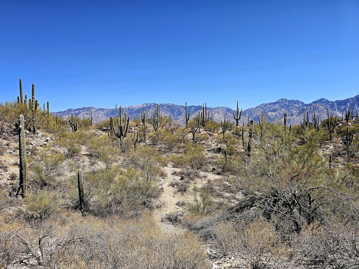
Rail X Ranch - Honey Bee Canyon Loop
Hiking Trail · AZ
1.53
Miles
30
Ft Gain
Easy
dirt
Surface
Trail Details
- Distance
- 1.53 mi (2.47 km)
- Elevation Gain
- 30 ft (9 m)
- Elevation Loss
- 213 ft (65 m)
- Elevation Range
- 969m - 1025m
- Difficulty
- easy
- Surface
- dirt
- Type
- Hiking Trail
- Route
- Out & Back
Elevation Profile
2.4 km total
0 km2.4 km
Access & Rules
🚴 Bikes OK
Trail data sourced from OpenStreetMap contributors. OSM Way #321398218.
Take This Trail Offline
Download the map for this area — topo, terrain, and trail lines work without cell signal.
Plan a Trip on This Trail
Organize a group hike, share gear lists, and coordinate logistics.
Create a Trip →