Back to Explore
🐴
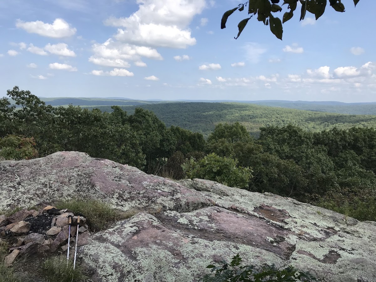
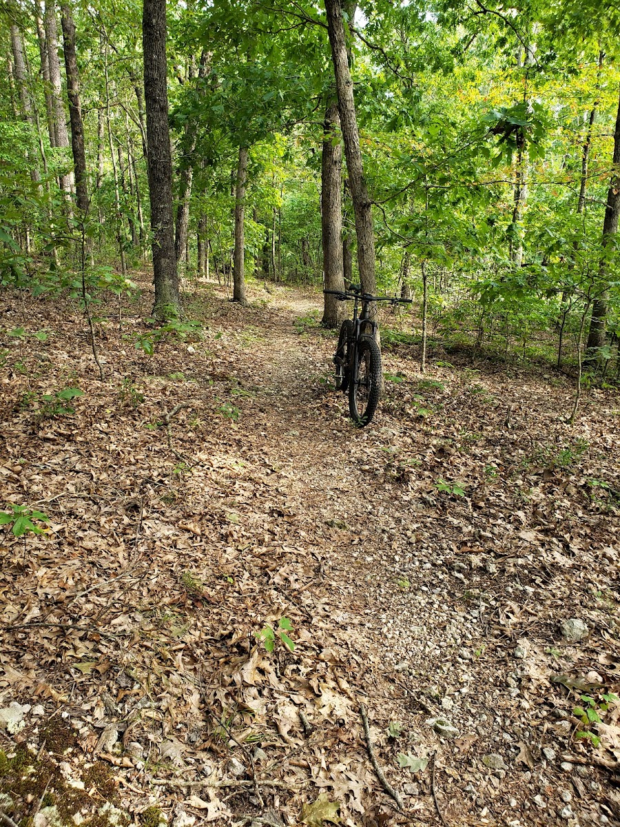
Ozark Trail - Trace Creek Section
Horse Trail · MO
8.99
Miles
1,411
Ft Gain
Strenuous
dirt
Surface
Trail Details
- Distance
- 8.99 mi (14.47 km)
- Elevation Gain
- 1,411 ft (430 m)
- Elevation Loss
- 1,161 ft (354 m)
- Elevation Range
- 285m - 422m
- Difficulty
- strenuous
- Surface
- dirt
- Type
- Horse Trail
- Route
- Out & Back
Elevation Profile
12.0 km total
0 km12.0 km
Access & Rules
🚴 Bikes OK🐴 Horses OK
Trail data sourced from OpenStreetMap contributors. OSM Way #1224871048.
Take This Trail Offline
Download the map for this area — topo, terrain, and trail lines work without cell signal.
Plan a Trip on This Trail
Organize a group hike, share gear lists, and coordinate logistics.
Create a Trip →