Back to Explore
🐴
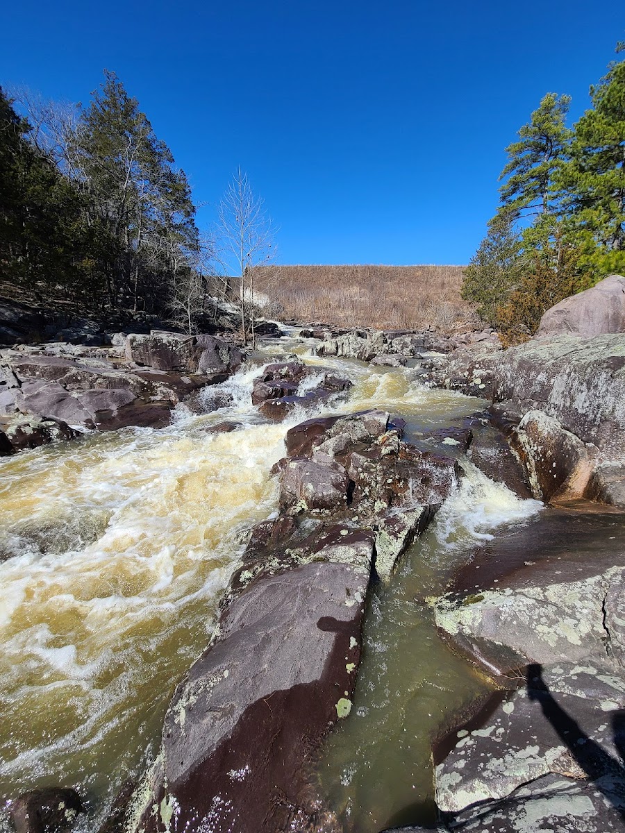
Ozark Trail - Marble Creek Section
Horse Trail · MO
8.65
Miles
801
Ft Gain
Strenuous
dirt
Surface
Trail Details
- Distance
- 8.65 mi (13.92 km)
- Elevation Gain
- 801 ft (244 m)
- Elevation Loss
- 991 ft (302 m)
- Elevation Range
- 210m - 301m
- Difficulty
- strenuous
- Surface
- dirt
- Type
- Horse Trail
- Route
- Out & Back
Elevation Profile
12.4 km total
0 km12.4 km
Access & Rules
🚴 Bikes OK🐴 Horses OK
Trail data sourced from OpenStreetMap contributors. OSM Way #359916584.
Take This Trail Offline
Download the map for this area — topo, terrain, and trail lines work without cell signal.
Plan a Trip on This Trail
Organize a group hike, share gear lists, and coordinate logistics.
Create a Trip →