Back to Explore
🥾
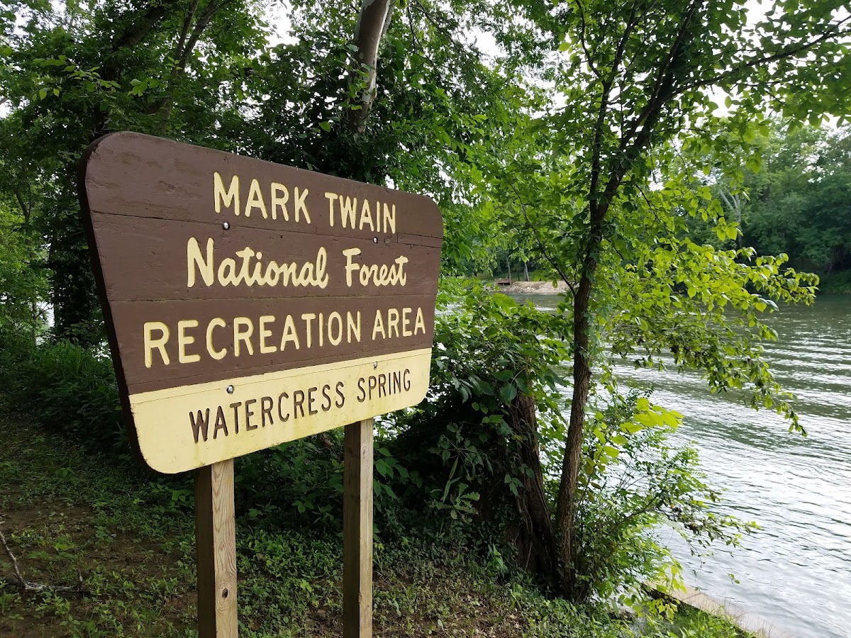
Ozark Trail - Current River Section
Hiking Trail · MO
6.87
Miles
932
Ft Gain
Moderate
dirt
Surface
Trail Details
- Distance
- 6.87 mi (11.05 km)
- Elevation Gain
- 932 ft (284 m)
- Elevation Loss
- 751 ft (229 m)
- Elevation Range
- 161m - 287m
- Difficulty
- moderate
- Surface
- dirt
- Type
- Hiking Trail
- Route
- Out & Back
Elevation Profile
9.8 km total
0 km9.8 km
Trail data sourced from OpenStreetMap contributors. OSM Way #1435730951.
Take This Trail Offline
Download the map for this area — topo, terrain, and trail lines work without cell signal.
Plan a Trip on This Trail
Organize a group hike, share gear lists, and coordinate logistics.
Create a Trip →