Back to Explore
🥾
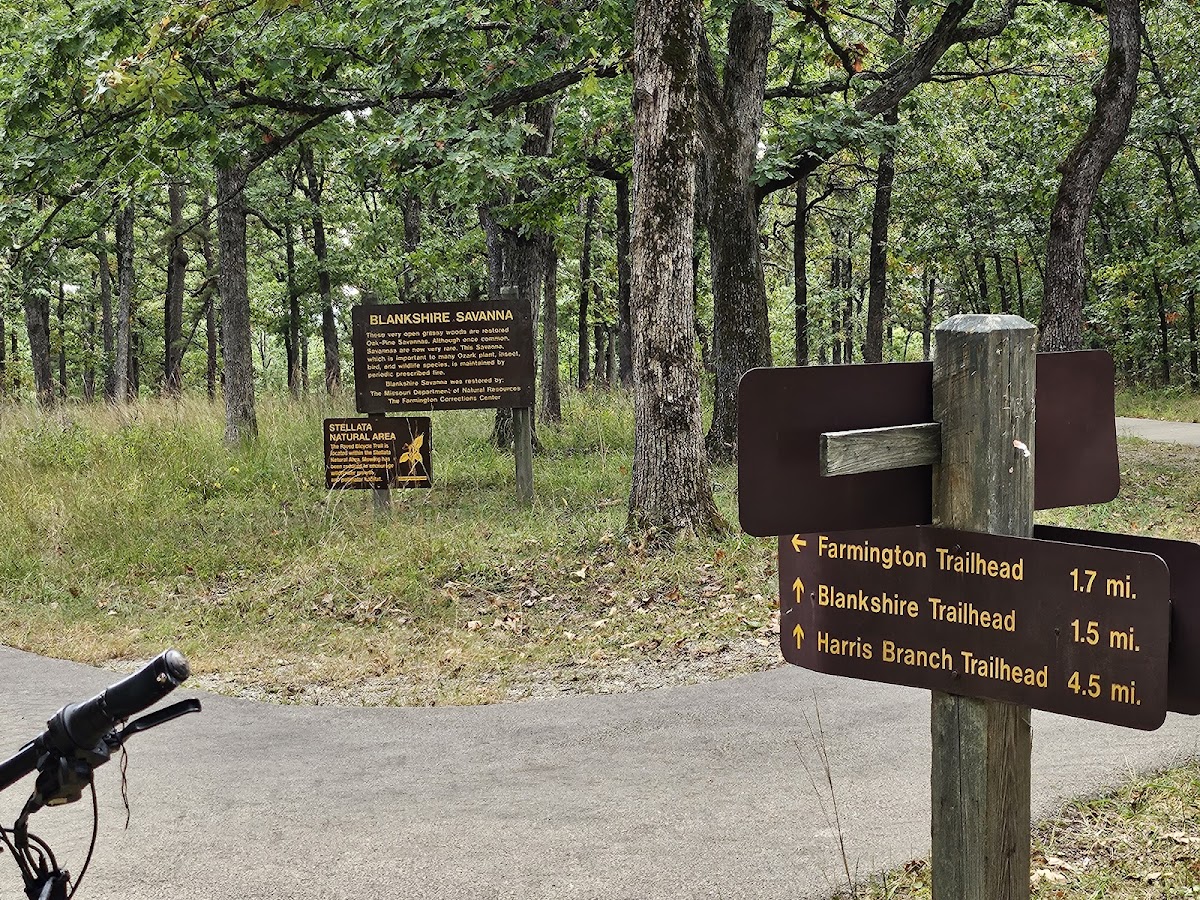
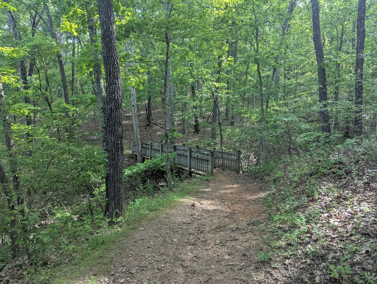
ORV Trail System
Hiking Trail · MO
9.31
Miles
646
Ft Gain
Strenuous
dirt
Surface
🔄 Loop Trail
Trail Details
- Distance
- 9.31 mi (14.98 km)
- Elevation Gain
- 646 ft (197 m)
- Elevation Loss
- 646 ft (197 m)
- Elevation Range
- 269m - 352m
- Difficulty
- strenuous
- Surface
- dirt
- Type
- Hiking Trail
- Route
- Loop
Elevation Profile
13.1 km total
0 km13.1 km
Access & Rules
🚴 No Bikes🐴 No Horses
Trail data sourced from OpenStreetMap contributors. OSM Way #864236253.
Take This Trail Offline
Download the map for this area — topo, terrain, and trail lines work without cell signal.
Plan a Trip on This Trail
Organize a group hike, share gear lists, and coordinate logistics.
Create a Trip →