

Trail Details
- Distance
- 0.75 mi (1.2 km)
- Elevation Gain
- 167 ft (51 m)
- Elevation Loss
- —
- Elevation Range
- 17m - 68m
- Difficulty
- easy
- Surface
- mixed
- Type
- Hiking Trail
- Route
- Out & Back
Elevation Profile
1.2 km total
0 km1.2 km
Access & Rules
🚴 No Bikes🐴 No Horses
Trail data sourced from OpenStreetMap contributors. OSM Way #38493992.
Take This Trail Offline
Download the map for this area — topo, terrain, and trail lines work without cell signal.
Plan a Trip on This Trail
Organize a group hike, share gear lists, and coordinate logistics.
Create a Trip →Nearby Camping
The Willard InterContinental, Washington DC
2.5 mi away

The National Christmas Tree Lighting Opening Ceremony
2.5 mi away
Department of the Interior Museum
2.6 mi away

Smithsonian American Art Museum and Renwick Gallery
2.7 mi away
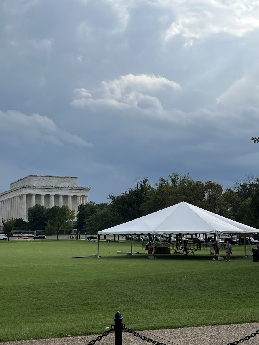
Lincoln Memorial Grounds Softball Fields
2.7 mi away

The White House Easter Egg Roll
2.7 mi away