Back to Explore
🐴
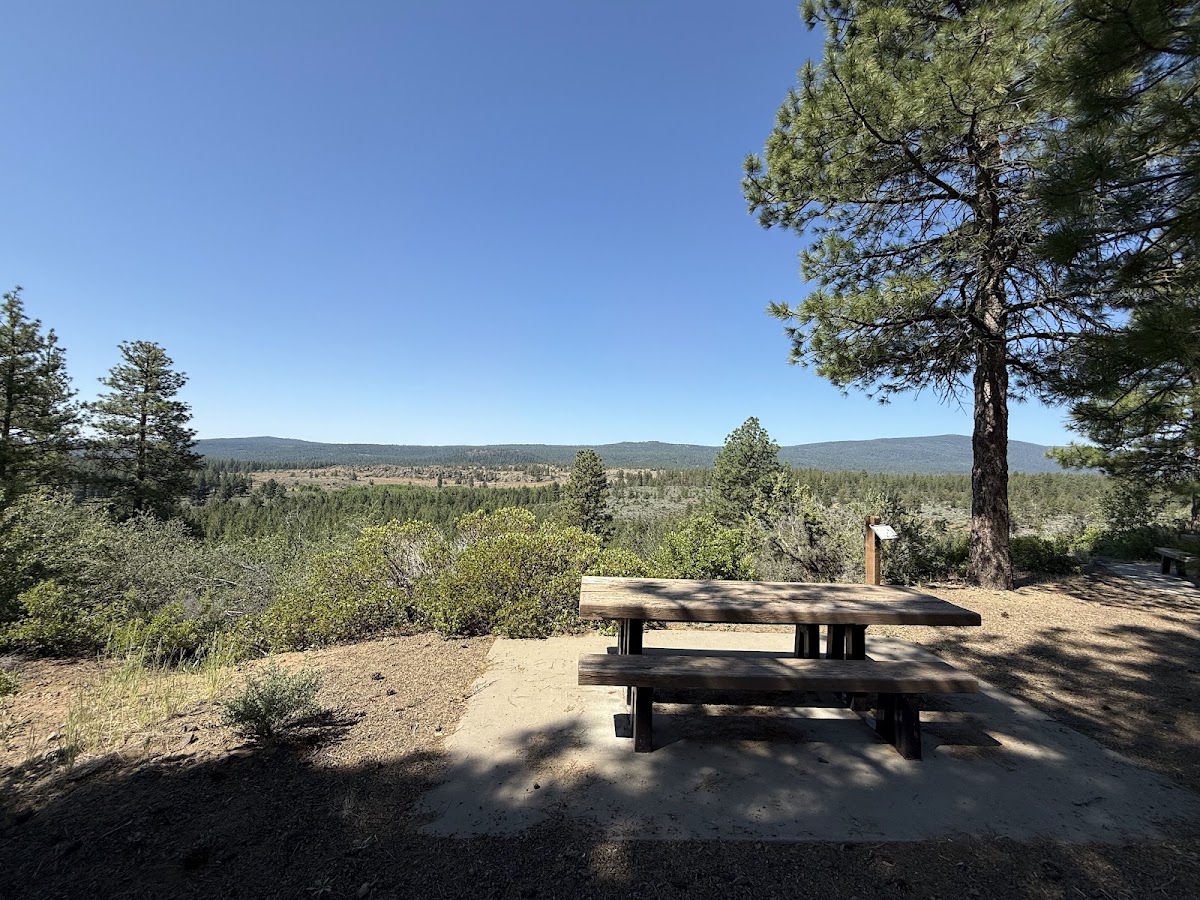
OC&E Woods Line State Trail
Horse Trail · OR
10.87
Miles
568
Ft Gain
Strenuous
mixed
Surface
Trail Details
- Distance
- 10.87 mi (17.5 km)
- Elevation Gain
- 568 ft (173 m)
- Elevation Loss
- 16 ft (5 m)
- Elevation Range
- 1268m - 1436m
- Difficulty
- strenuous
- Surface
- mixed
- Type
- Horse Trail
- Route
- Out & Back
Elevation Profile
17.4 km total
0 km17.4 km
Access & Rules
🚴 Bikes OK🐴 Horses OK
Trail data sourced from OpenStreetMap contributors. OSM Way #121385186.
Take This Trail Offline
Download the map for this area — topo, terrain, and trail lines work without cell signal.
Plan a Trip on This Trail
Organize a group hike, share gear lists, and coordinate logistics.
Create a Trip →