Back to Explore
🔀
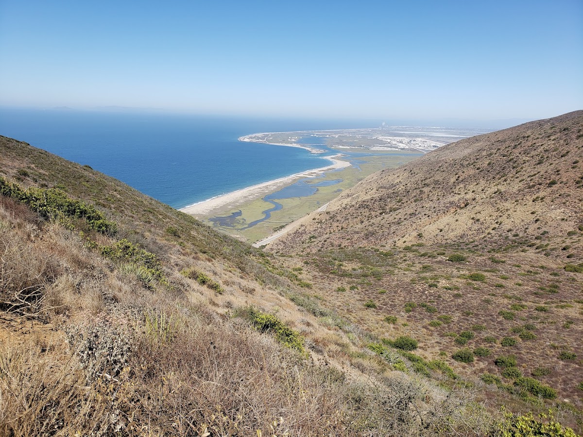
Nicholas Flats - Charmlee Connector Trail
Multi-Use Trail · CA
0.97
Miles
233
Ft Gain
Easy
Trail Details
- Distance
- 0.97 mi (1.56 km)
- Elevation Gain
- 233 ft (71 m)
- Elevation Loss
- 282 ft (86 m)
- Elevation Range
- 323m - 397m
- Difficulty
- easy
- Surface
- —
- Type
- Multi-Use Trail
- Route
- Out & Back
Elevation Profile
1.5 km total
0 km1.5 km
Access & Rules
🔒 Restricted Access
Trail data sourced from OpenStreetMap contributors. OSM Way #225052045.
Take This Trail Offline
Download the map for this area — topo, terrain, and trail lines work without cell signal.
Plan a Trip on This Trail
Organize a group hike, share gear lists, and coordinate logistics.
Create a Trip →