Back to Explore
🥾
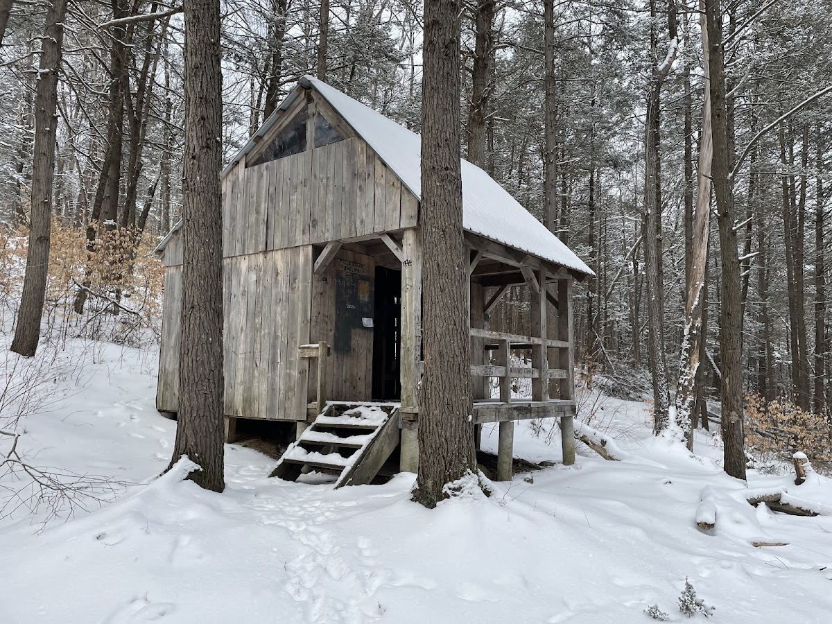
NET/M&M Trail/ Tully Trail (white yellow)
Hiking Trail · NH
0.86
Miles
125
Ft Gain
Strenuous
dirt
Surface
Trail Details
- Distance
- 0.86 mi (1.38 km)
- Elevation Gain
- 125 ft (38 m)
- Elevation Loss
- 144 ft (44 m)
- Elevation Range
- 338m - 368m
- Difficulty
- strenuous
- Surface
- dirt
- Type
- Hiking Trail
- Route
- Out & Back
Elevation Profile
1.4 km total
0 km1.4 km
Trail data sourced from OpenStreetMap contributors. OSM Way #385646973.
Take This Trail Offline
Download the map for this area — topo, terrain, and trail lines work without cell signal.
Plan a Trip on This Trail
Organize a group hike, share gear lists, and coordinate logistics.
Create a Trip →