Back to Explore
🔀
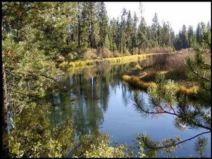
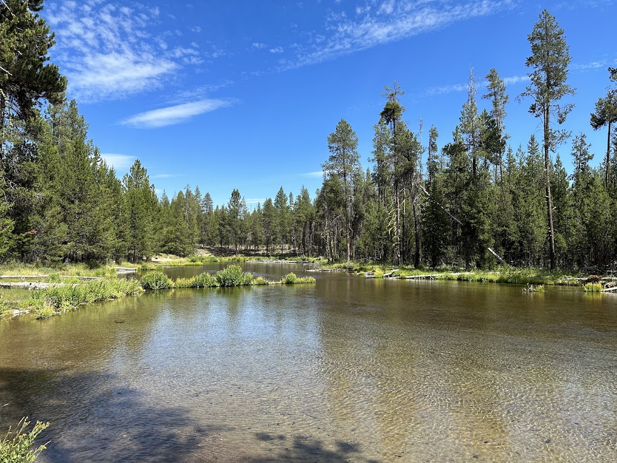
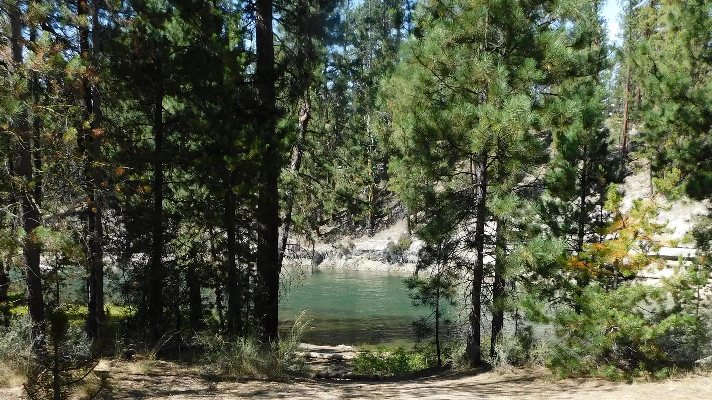
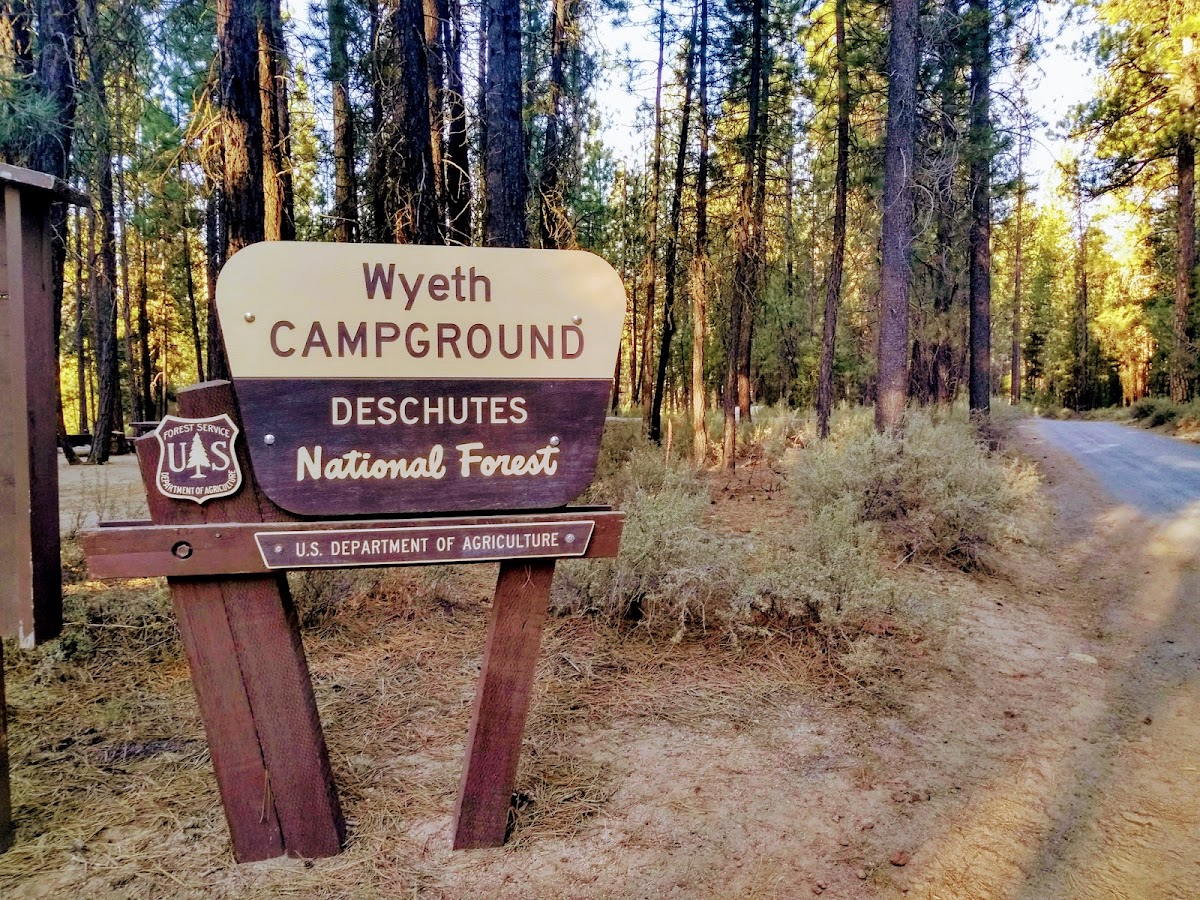
National Forest Development Road 4350
Multi-Use Trail · OR
2.11
Miles
59
Ft Gain
Easy
gravel
Surface
Trail Details
- Distance
- 2.11 mi (3.4 km)
- Elevation Gain
- 59 ft (18 m)
- Elevation Loss
- 52 ft (16 m)
- Elevation Range
- 1301m - 1313m
- Difficulty
- easy
- Surface
- gravel
- Type
- Multi-Use Trail
- Route
- Out & Back
Elevation Profile
3.4 km total
0 km3.4 km
Trail data sourced from OpenStreetMap contributors. OSM Way #5369751.
Take This Trail Offline
Download the map for this area — topo, terrain, and trail lines work without cell signal.
Plan a Trip on This Trail
Organize a group hike, share gear lists, and coordinate logistics.
Create a Trip →