Back to Explore
🥾
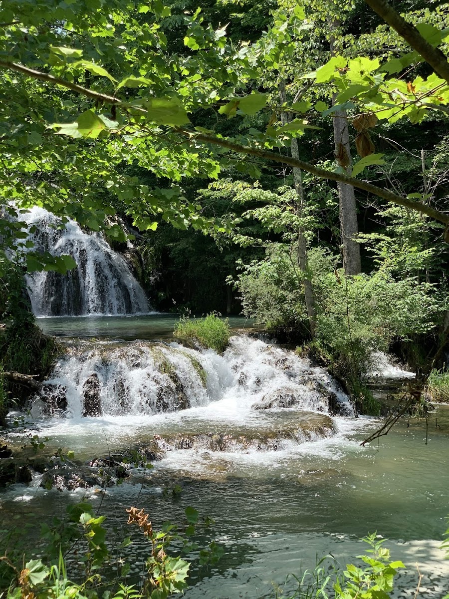
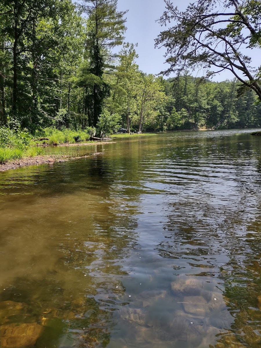
Mountain Momma Expert Cross Country
Hiking Trail · VA
1.88
Miles
554
Ft Gain
Easy
mixed
Surface
Trail Details
- Distance
- 1.88 mi (3.03 km)
- Elevation Gain
- 554 ft (169 m)
- Elevation Loss
- 554 ft (169 m)
- Elevation Range
- 735m - 898m
- Difficulty
- easy
- Surface
- mixed
- Type
- Hiking Trail
- Route
- Out & Back
Elevation Profile
3.0 km total
0 km3.0 km
Access & Rules
🚴 Bikes OK
Trail data sourced from OpenStreetMap contributors. OSM Way #161827129.
Take This Trail Offline
Download the map for this area — topo, terrain, and trail lines work without cell signal.
Plan a Trip on This Trail
Organize a group hike, share gear lists, and coordinate logistics.
Create a Trip →