Back to Explore
🥾
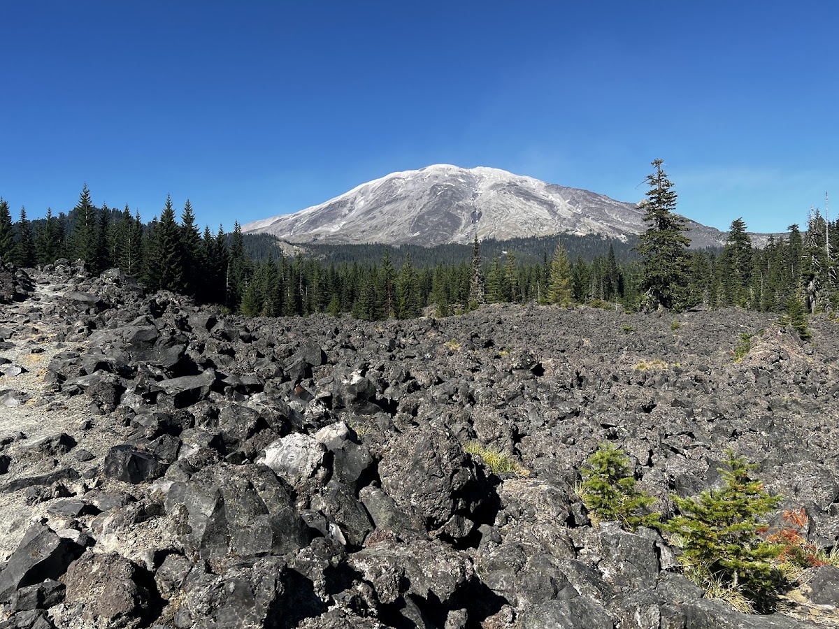
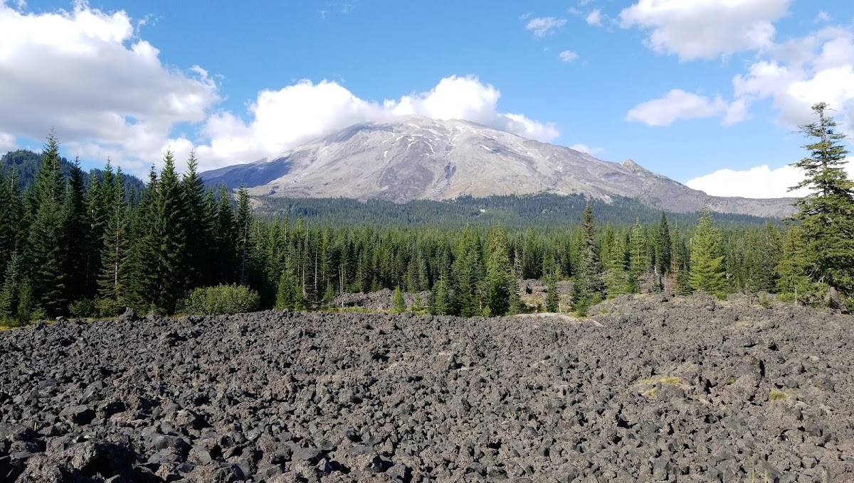
Monitor Ridge Climbing Route
Hiking Trail · WA
1.73
Miles
2,956
Ft Gain
Strenuous
dirt
Surface
Trail Details
- Distance
- 1.73 mi (2.78 km)
- Elevation Gain
- 2,956 ft (901 m)
- Elevation Loss
- —
- Elevation Range
- 1425m - 2327m
- Difficulty
- strenuous
- Surface
- dirt
- Type
- Hiking Trail
- Route
- Out & Back
Elevation Profile
2.7 km total
0 km2.7 km
Access & Rules
🚴 No Bikes🐴 No Horses
Trail data sourced from OpenStreetMap contributors. OSM Way #147104091.
Take This Trail Offline
Download the map for this area — topo, terrain, and trail lines work without cell signal.
Plan a Trip on This Trail
Organize a group hike, share gear lists, and coordinate logistics.
Create a Trip →