Back to Explore
🥾
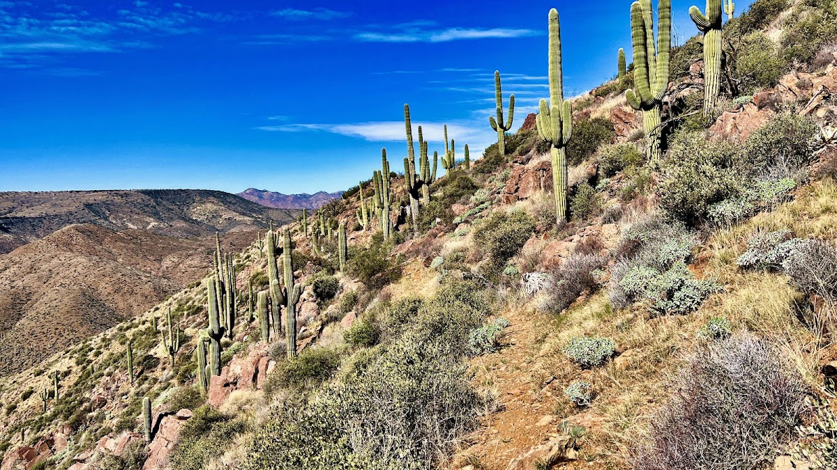
Maricopa Trail (BR to Bartlett Lake Road)
Hiking Trail · AZ
3.31
Miles
377
Ft Gain
Moderate
dirt
Surface
Trail Details
- Distance
- 3.31 mi (5.32 km)
- Elevation Gain
- 377 ft (115 m)
- Elevation Loss
- 20 ft (6 m)
- Elevation Range
- 878m - 988m
- Difficulty
- moderate
- Surface
- dirt
- Type
- Hiking Trail
- Route
- Out & Back
Elevation Profile
4.9 km total
0 km4.9 km
Trail data sourced from OpenStreetMap contributors. OSM Way #936395704.
Take This Trail Offline
Download the map for this area — topo, terrain, and trail lines work without cell signal.
Plan a Trip on This Trail
Organize a group hike, share gear lists, and coordinate logistics.
Create a Trip →