

Trail Details
- Distance
- 0.93 mi (1.49 km)
- Elevation Gain
- 79 ft (24 m)
- Elevation Loss
- 85 ft (26 m)
- Elevation Range
- 228m - 241m
- Difficulty
- easy
- Surface
- gravel
- Type
- Horse Trail
- Route
- Out & Back
Elevation Profile
1.5 km total
0 km1.5 km
Access & Rules
🚴 Bikes OK🐴 Horses OK
Trail data sourced from OpenStreetMap contributors. OSM Way #1200656309.
Take This Trail Offline
Download the map for this area — topo, terrain, and trail lines work without cell signal.
Plan a Trip on This Trail
Organize a group hike, share gear lists, and coordinate logistics.
Create a Trip →Nearby Camping
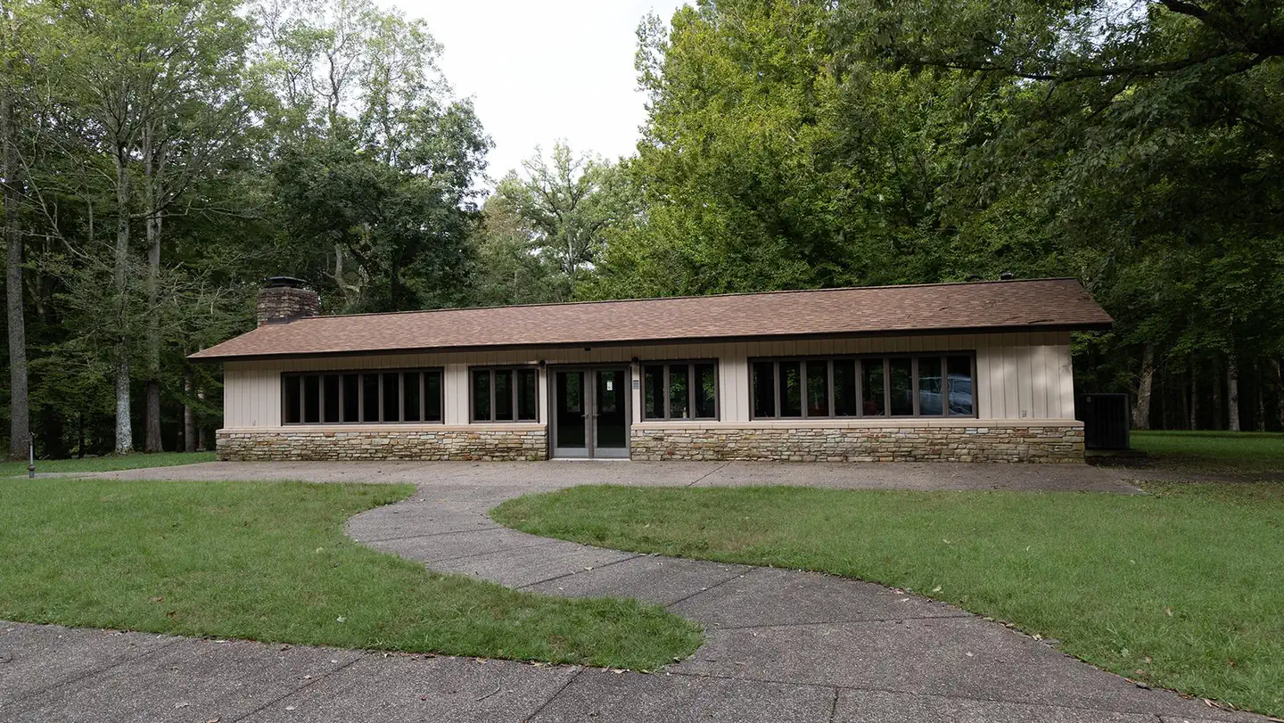
MAMMOTH PICNIC SHELTERS
2.0 mi away
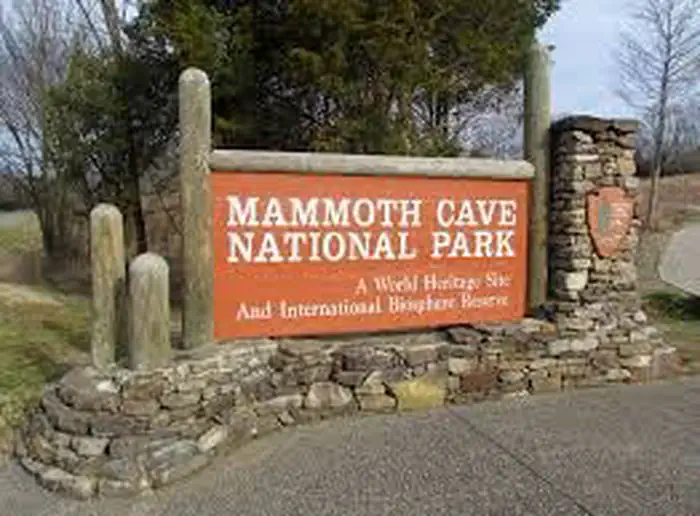
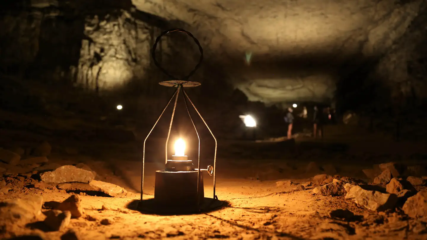
MAMMOTH CAVE NATIONAL PARK TOURS
2.3 mi away
Mammoth Cave National Park presents Teddy Abrams and the Louisville Orchestra with special guest Yo-Yo Ma
2.3 mi away
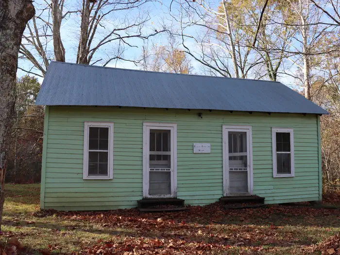
Mammoth Cave National Park Floyd Collins History Tour
2.3 mi away
Turnhole Bend CG
2.8 mi away
Sal Hollow Campsite
2.9 mi away