Back to Explore
🥾
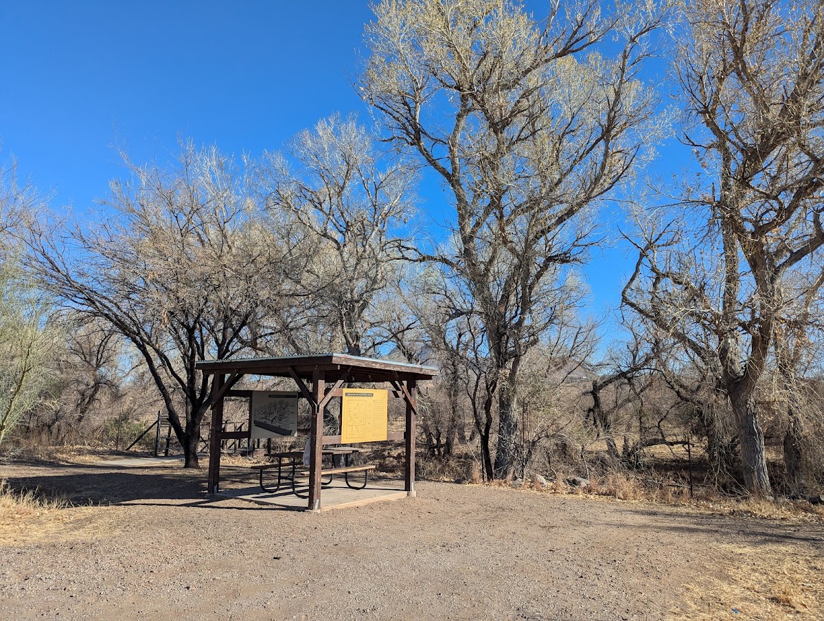
Juan Bautista De Anza National Historic Trail
Hiking Trail · AZ
9.45
Miles
200
Ft Gain
Strenuous
dirt
Surface
Trail Details
- Distance
- 9.45 mi (15.21 km)
- Elevation Gain
- 200 ft (61 m)
- Elevation Loss
- 33 ft (10 m)
- Elevation Range
- 989m - 1040m
- Difficulty
- strenuous
- Surface
- dirt
- Type
- Hiking Trail
- Route
- Out & Back
Elevation Profile
14.5 km total
0 km14.5 km
Trail data sourced from OpenStreetMap contributors. OSM Way #548926322.
Take This Trail Offline
Download the map for this area — topo, terrain, and trail lines work without cell signal.
Plan a Trip on This Trail
Organize a group hike, share gear lists, and coordinate logistics.
Create a Trip →