Back to Explore
🥾
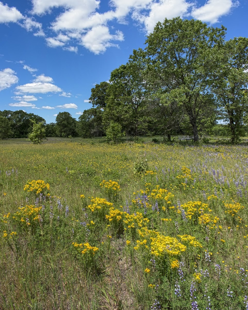
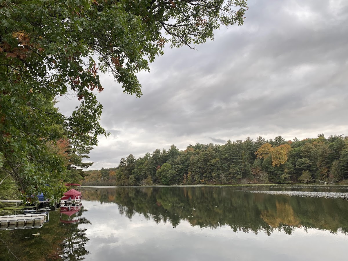
Ice Age Trail - Karner Blue Segment
Hiking Trail · MN
1.16
Miles
92
Ft Gain
Easy
dirt
Surface
Trail Details
- Distance
- 1.16 mi (1.86 km)
- Elevation Gain
- 92 ft (28 m)
- Elevation Loss
- 79 ft (24 m)
- Elevation Range
- 300m - 315m
- Difficulty
- easy
- Surface
- dirt
- Type
- Hiking Trail
- Route
- Out & Back
Elevation Profile
1.8 km total
0 km1.8 km
Trail data sourced from OpenStreetMap contributors. OSM Way #1463522988.
Take This Trail Offline
Download the map for this area — topo, terrain, and trail lines work without cell signal.
Plan a Trip on This Trail
Organize a group hike, share gear lists, and coordinate logistics.
Create a Trip →