Back to Explore
🥾
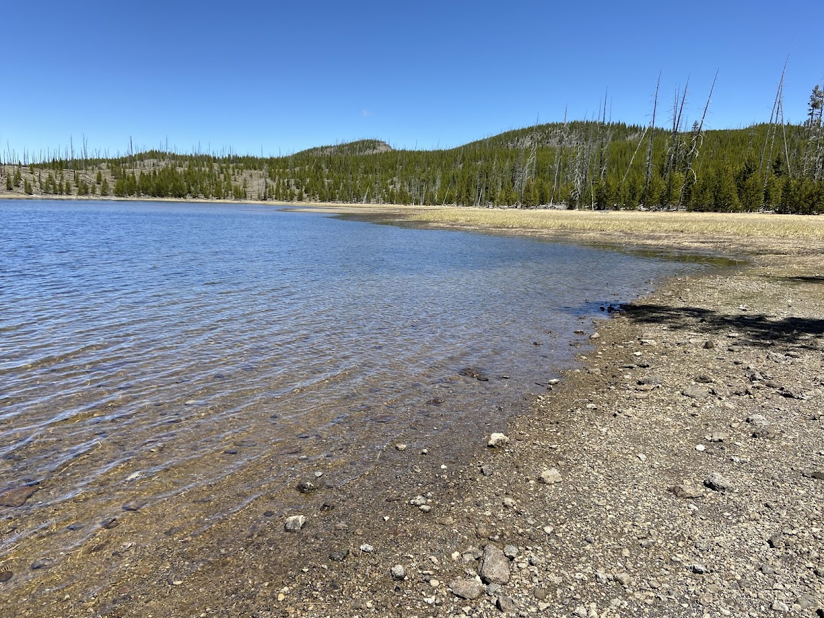
Howard Eaton/Lone Star / Continental Divide
Hiking Trail · MT
2.85
Miles
525
Ft Gain
Easy
dirt
Surface
Trail Details
- Distance
- 2.85 mi (4.59 km)
- Elevation Gain
- 525 ft (160 m)
- Elevation Loss
- 259 ft (79 m)
- Elevation Range
- 2253m - 2397m
- Difficulty
- easy
- Surface
- dirt
- Type
- Hiking Trail
- Route
- Out & Back
Elevation Profile
4.5 km total
0 km4.5 km
Access & Rules
🚴 No Bikes
Trail data sourced from OpenStreetMap contributors. OSM Way #103758399.
Take This Trail Offline
Download the map for this area — topo, terrain, and trail lines work without cell signal.
Plan a Trip on This Trail
Organize a group hike, share gear lists, and coordinate logistics.
Create a Trip →