Back to Explore
🥾
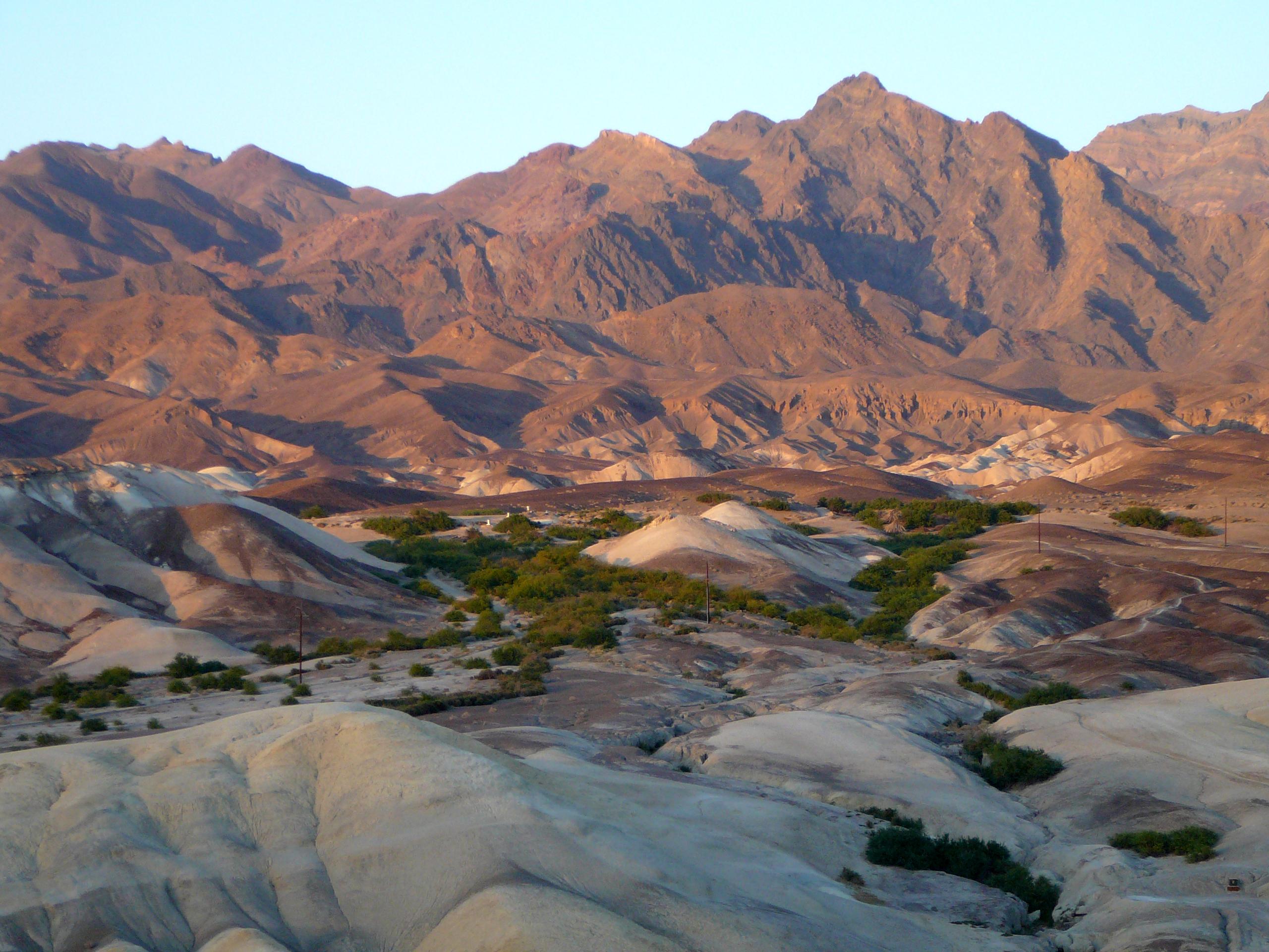
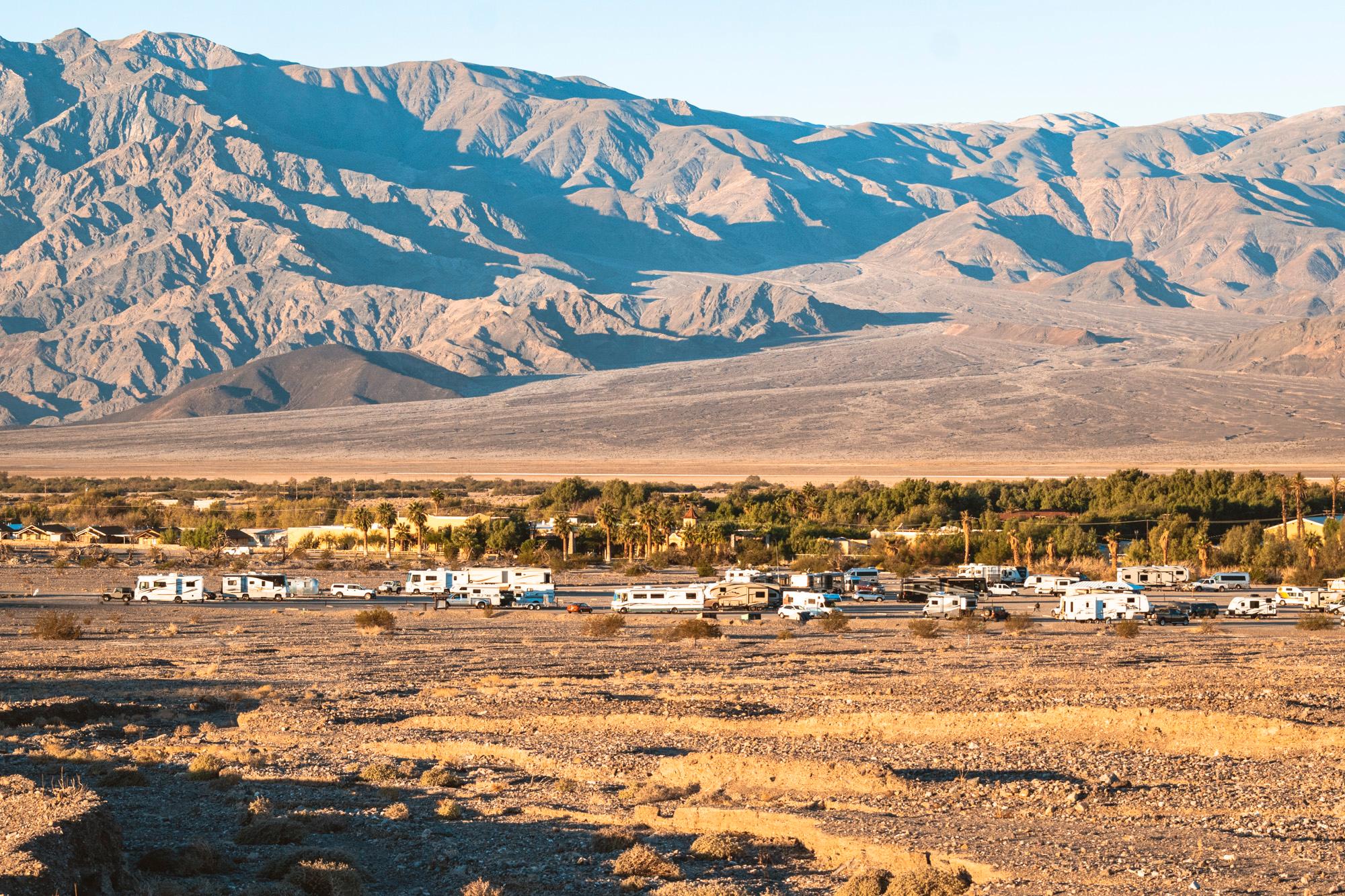
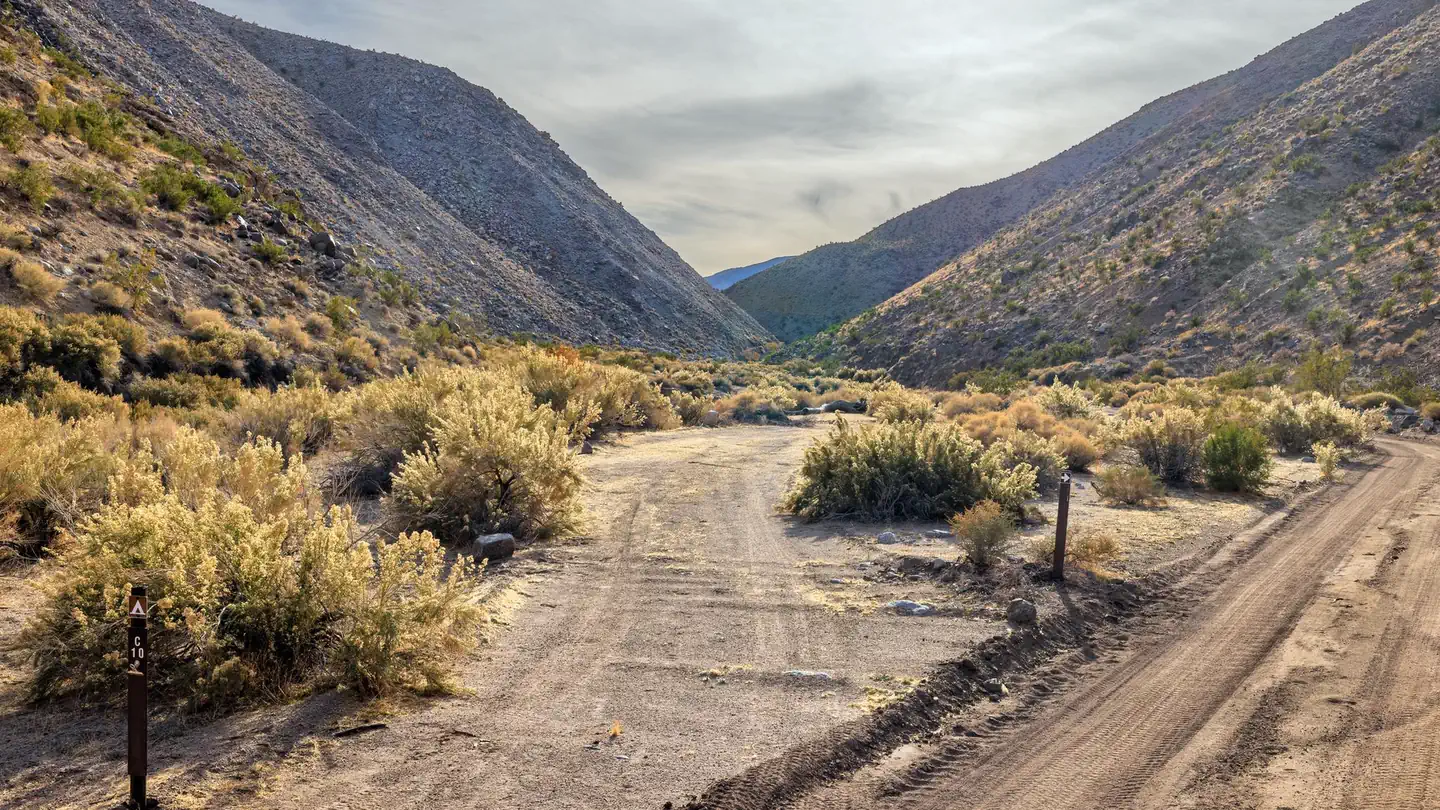
Funeral Canyon hiking route
Hiking Trail · NV
3.45
Miles
1,371
Ft Gain
Moderate
dirt
Surface
Trail Details
- Distance
- 3.45 mi (5.56 km)
- Elevation Gain
- 1,371 ft (418 m)
- Elevation Loss
- 66 ft (20 m)
- Elevation Range
- -26m - 372m
- Difficulty
- moderate
- Surface
- dirt
- Type
- Hiking Trail
- Route
- Out & Back
Elevation Profile
5.4 km total
0 km5.4 km
Access & Rules
🚴 No Bikes🐴 No Horses
Trail data sourced from OpenStreetMap contributors. OSM Way #338339768.
Take This Trail Offline
Download the map for this area — topo, terrain, and trail lines work without cell signal.
Plan a Trip on This Trail
Organize a group hike, share gear lists, and coordinate logistics.
Create a Trip →