Back to Explore
🥾
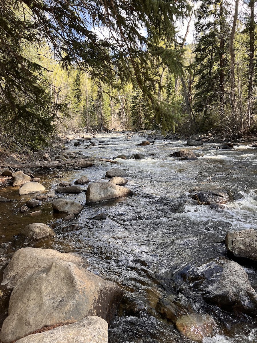
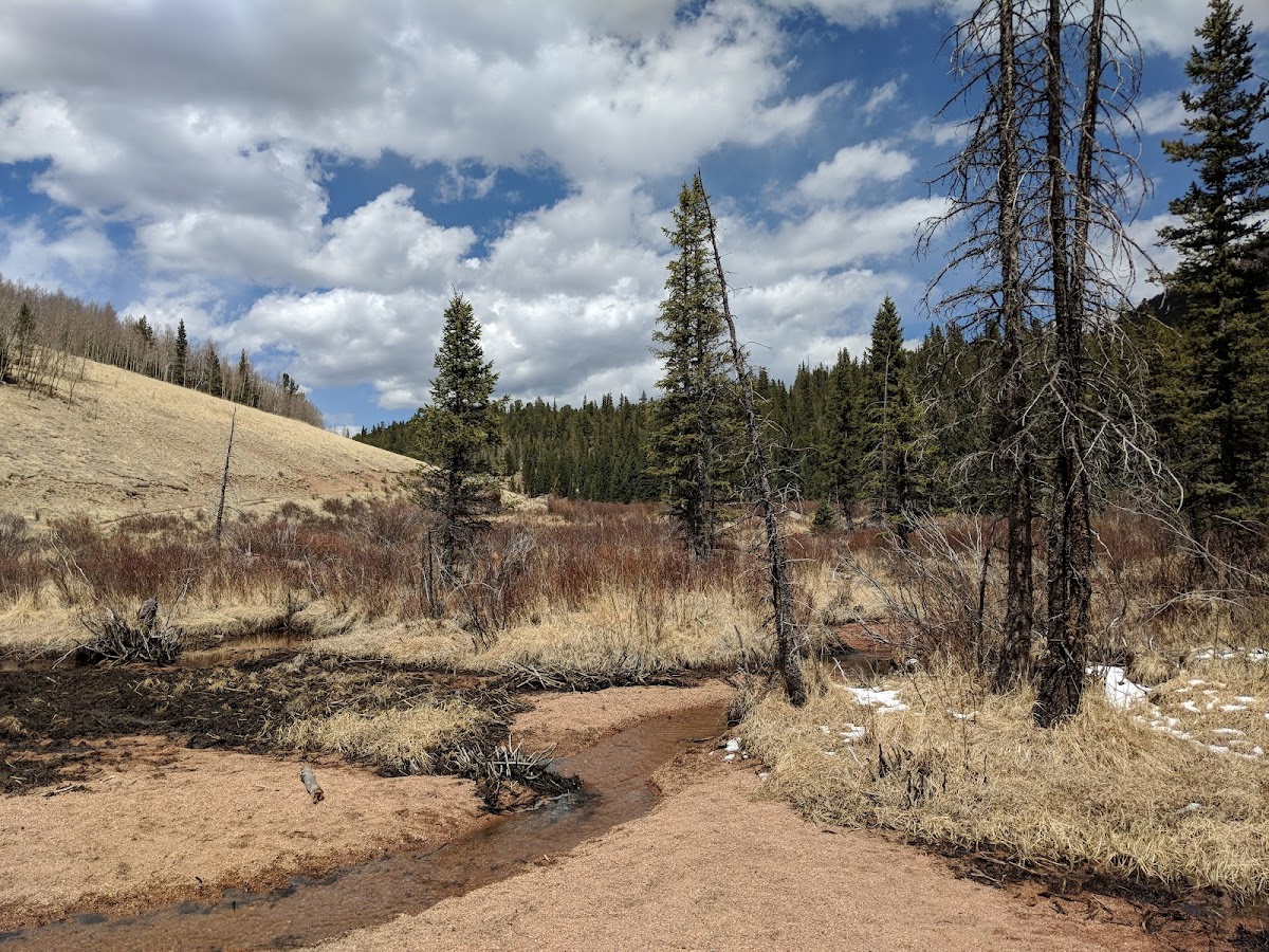
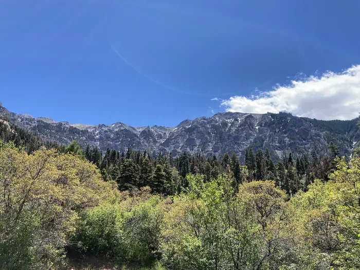
Difficulty Creek Trail (214)
Hiking Trail · CO
3.87
Miles
1,106
Ft Gain
Moderate
dirt
Surface
Trail Details
- Distance
- 3.87 mi (6.23 km)
- Elevation Gain
- 1,106 ft (337 m)
- Elevation Loss
- 722 ft (220 m)
- Elevation Range
- 3518m - 3660m
- Difficulty
- moderate
- Surface
- dirt
- Type
- Hiking Trail
- Route
- Out & Back
Elevation Profile
6.0 km total
0 km6.0 km
Access & Rules
🚴 No Bikes
Trail data sourced from OpenStreetMap contributors. OSM Way #1304335069.
Take This Trail Offline
Download the map for this area — topo, terrain, and trail lines work without cell signal.
Plan a Trip on This Trail
Organize a group hike, share gear lists, and coordinate logistics.
Create a Trip →