Back to Explore
🐴
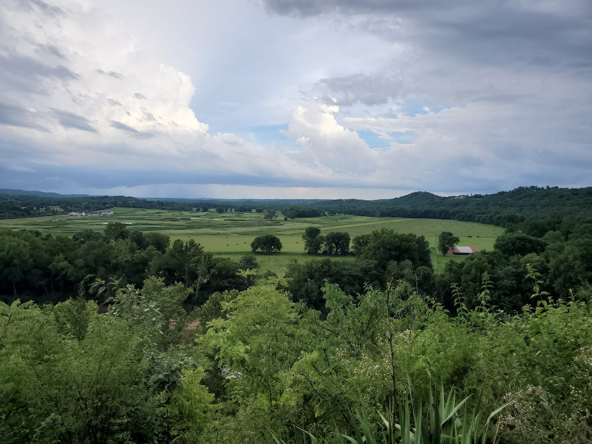
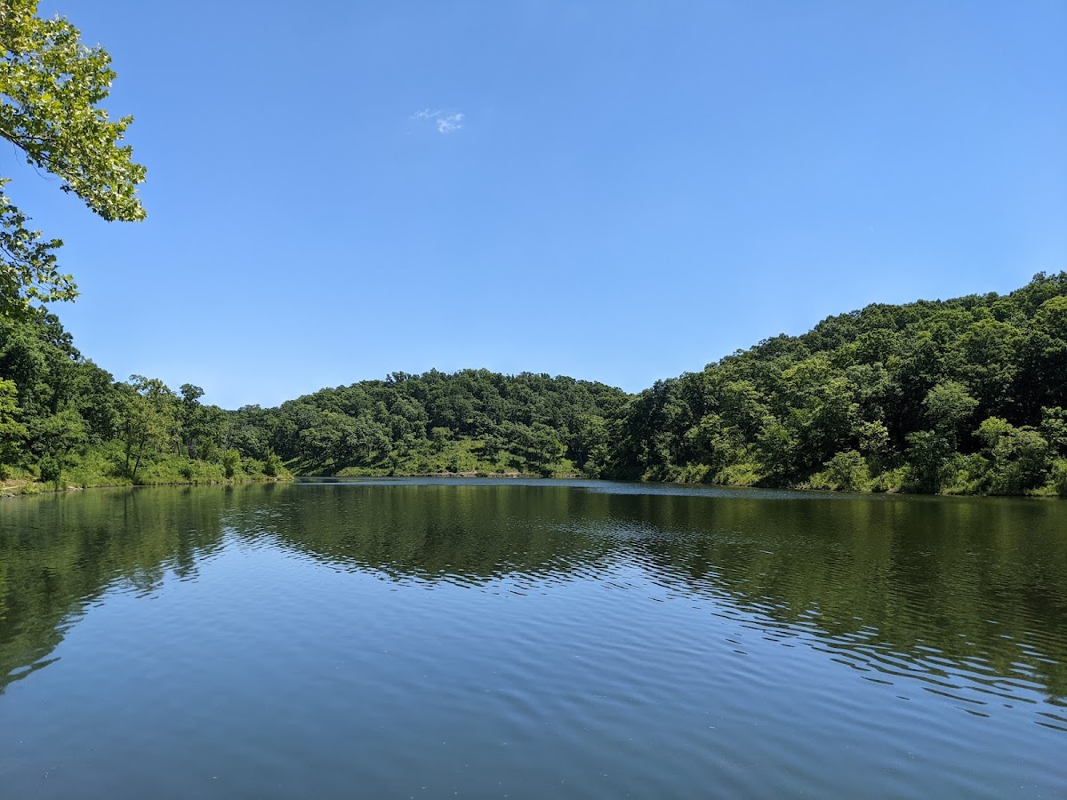
Cuivre River Trail - South Loop and Blackhawk Point Mountain Bike Trail
Horse Trail · IL
2.4
Miles
157
Ft Gain
Easy
dirt
Surface
Trail Details
- Distance
- 2.4 mi (3.86 km)
- Elevation Gain
- 157 ft (48 m)
- Elevation Loss
- 272 ft (83 m)
- Elevation Range
- 176m - 216m
- Difficulty
- easy
- Surface
- dirt
- Type
- Horse Trail
- Route
- Out & Back
Elevation Profile
3.7 km total
0 km3.7 km
Access & Rules
🚴 Bikes OK🐴 Horses OK
Trail data sourced from OpenStreetMap contributors. OSM Way #824274220.
Take This Trail Offline
Download the map for this area — topo, terrain, and trail lines work without cell signal.
Plan a Trip on This Trail
Organize a group hike, share gear lists, and coordinate logistics.
Create a Trip →