Back to Explore
🥾
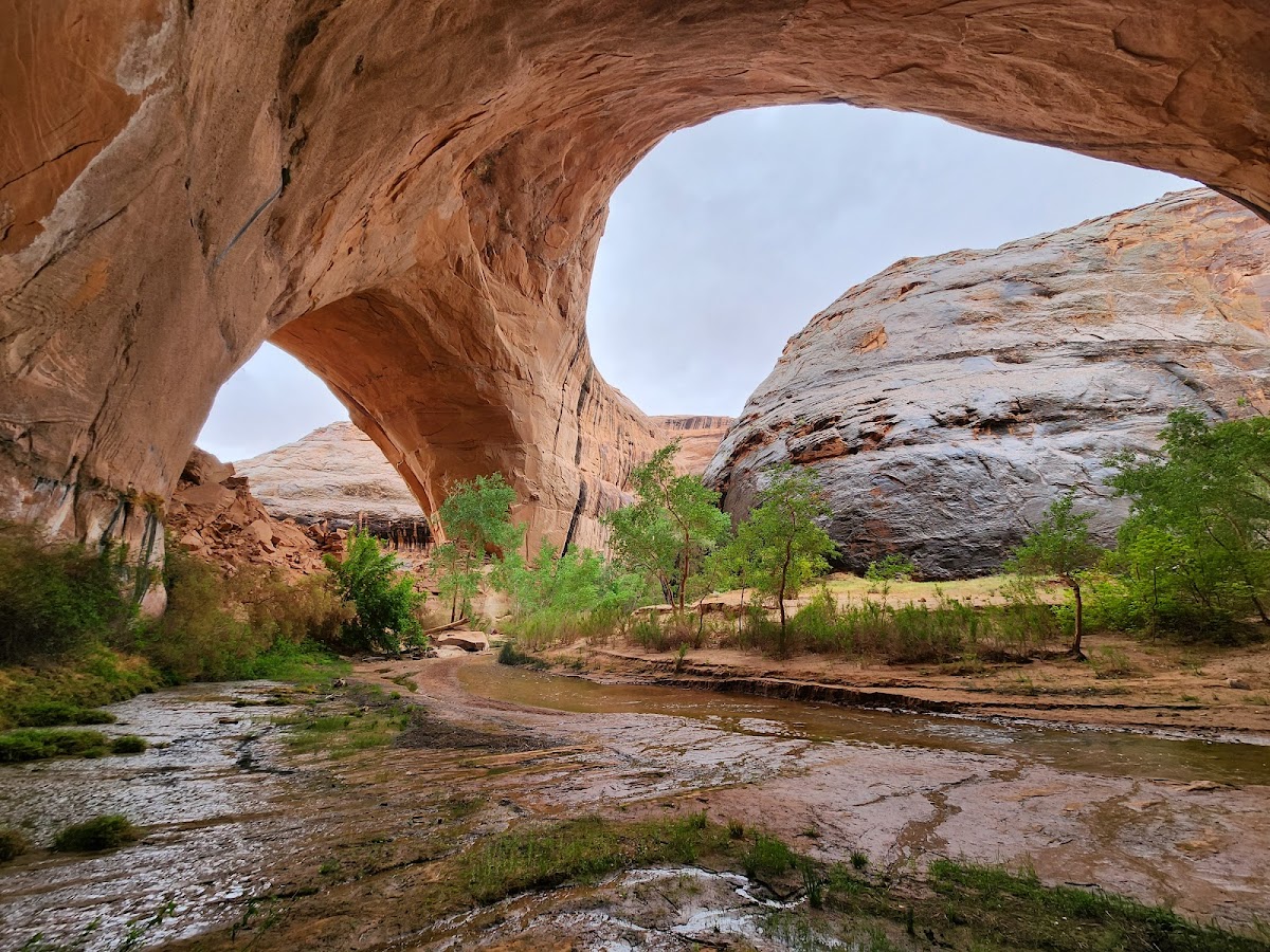
Coyote Gulch - Red Well Route
Hiking Trail · UT
6.54
Miles
174
Ft Gain
Strenuous
dirt
Surface
Trail Details
- Distance
- 6.54 mi (10.52 km)
- Elevation Gain
- 174 ft (53 m)
- Elevation Loss
- 600 ft (183 m)
- Elevation Range
- 1244m - 1379m
- Difficulty
- strenuous
- Surface
- dirt
- Type
- Hiking Trail
- Route
- Out & Back
Elevation Profile
9.5 km total
0 km9.5 km
Access & Rules
🚴 No Bikes🐴 No Horses🐕 No Dogs
Trail data sourced from OpenStreetMap contributors. OSM Way #45727252.
Take This Trail Offline
Download the map for this area — topo, terrain, and trail lines work without cell signal.
Plan a Trip on This Trail
Organize a group hike, share gear lists, and coordinate logistics.
Create a Trip →