Back to Explore
🚴
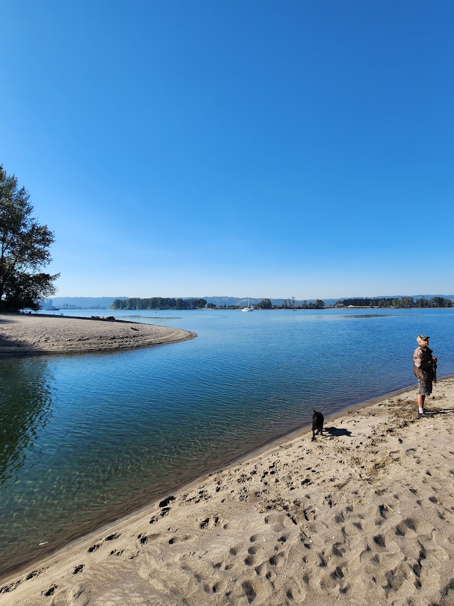
Columbia Riverfront Renaissance Trail
Bike Trail · WA
1.22
Miles
33
Ft Gain
Easy
paved
Surface
Trail Details
- Distance
- 1.22 mi (1.97 km)
- Elevation Gain
- 33 ft (10 m)
- Elevation Loss
- 36 ft (11 m)
- Elevation Range
- 6m - 10m
- Difficulty
- easy
- Surface
- paved
- Type
- Bike Trail
- Route
- Out & Back
Elevation Profile
2.0 km total
0 km2.0 km
Access & Rules
🚴 Bikes OK
Trail data sourced from OpenStreetMap contributors. OSM Way #108625314.
Take This Trail Offline
Download the map for this area — topo, terrain, and trail lines work without cell signal.
Plan a Trip on This Trail
Organize a group hike, share gear lists, and coordinate logistics.
Create a Trip →