Back to Explore
🐴
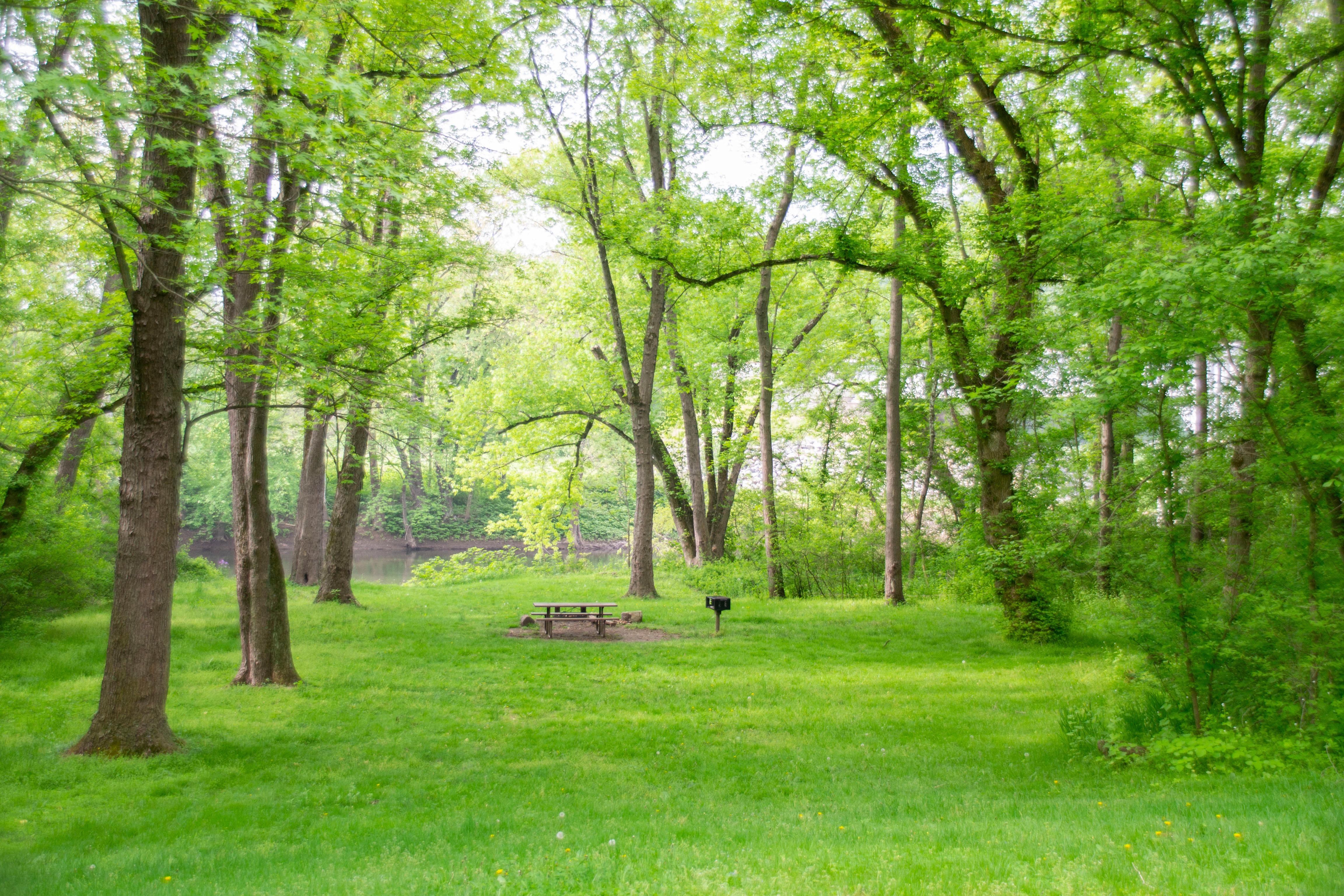
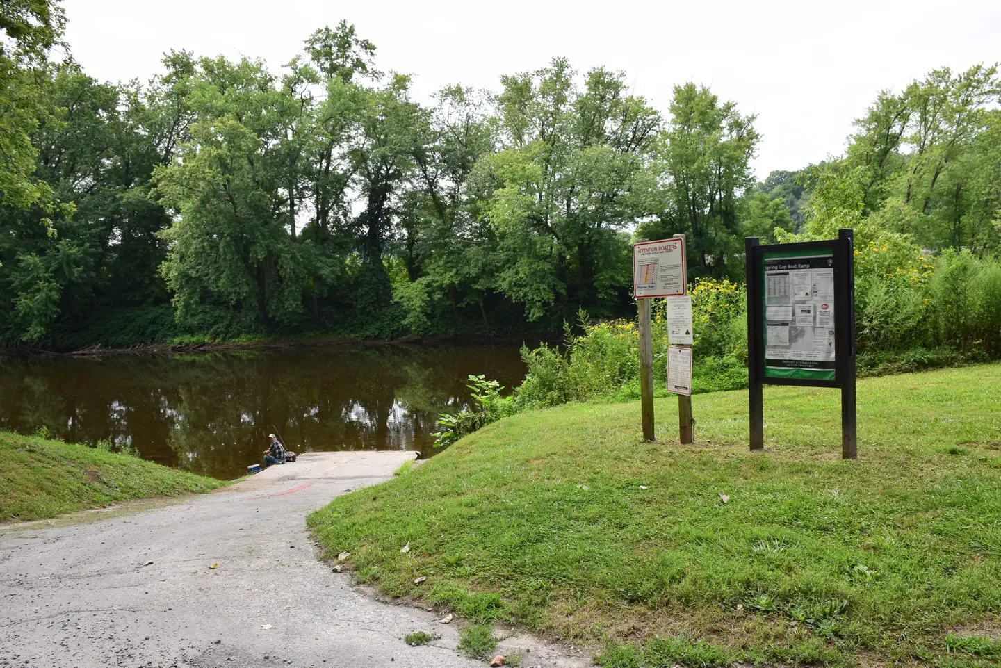
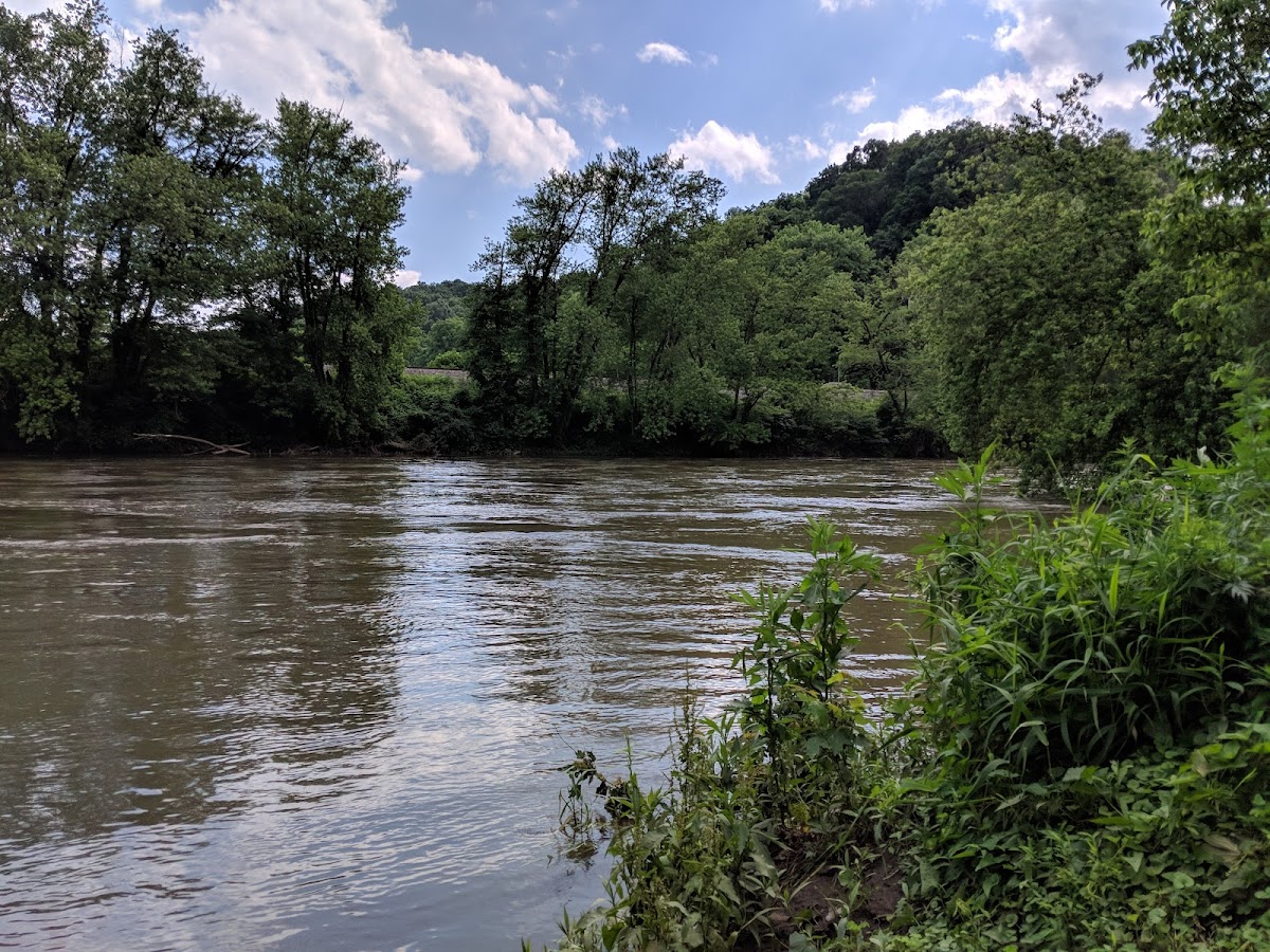
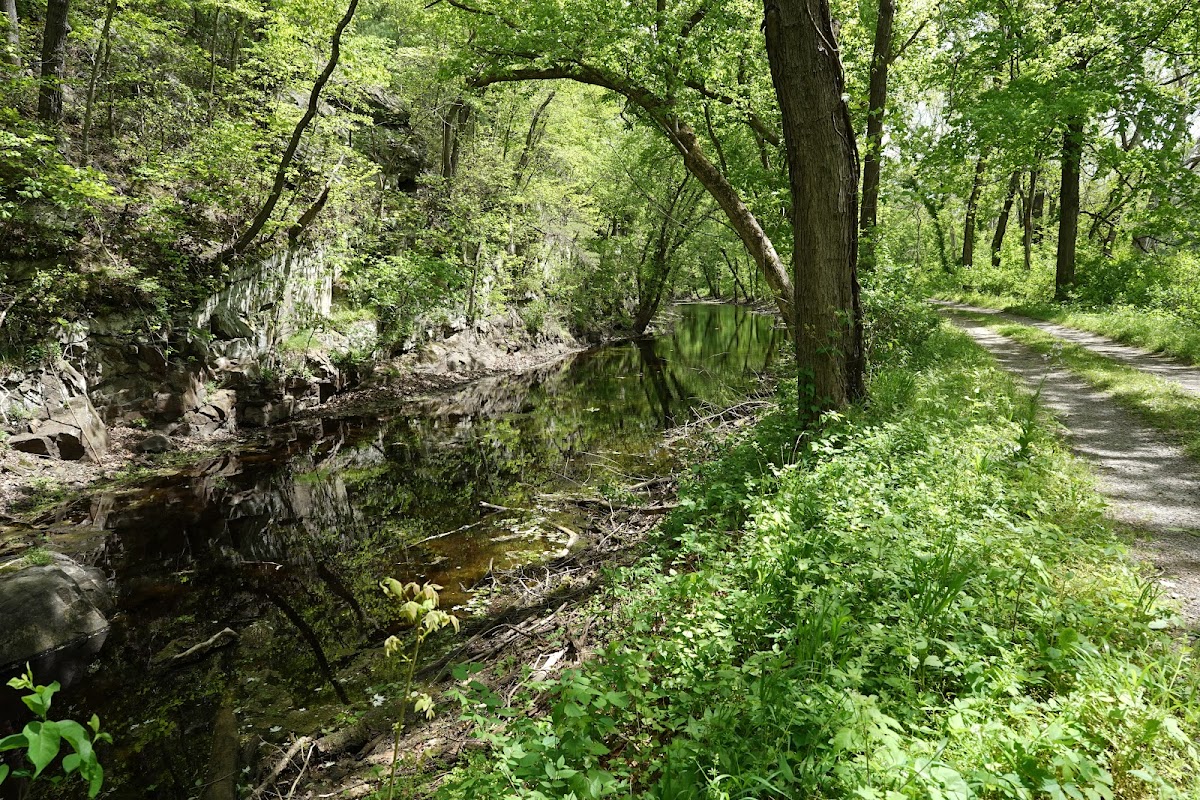
Chesapeake and Ohio Canal Trail
Horse Trail · MD
5.03
Miles
39
Ft Gain
Moderate
dirt
Surface
Trail Details
- Distance
- 5.03 mi (8.1 km)
- Elevation Gain
- 39 ft (12 m)
- Elevation Loss
- 33 ft (10 m)
- Elevation Range
- 181m - 187m
- Difficulty
- moderate
- Surface
- dirt
- Type
- Horse Trail
- Route
- Out & Back
Elevation Profile
8.1 km total
0 km8.1 km
Access & Rules
🚴 Bikes OK🐴 Horses OK
Trail data sourced from OpenStreetMap contributors. OSM Way #1125450029.
Take This Trail Offline
Download the map for this area — topo, terrain, and trail lines work without cell signal.
Plan a Trip on This Trail
Organize a group hike, share gear lists, and coordinate logistics.
Create a Trip →