Back to Explore
🔀
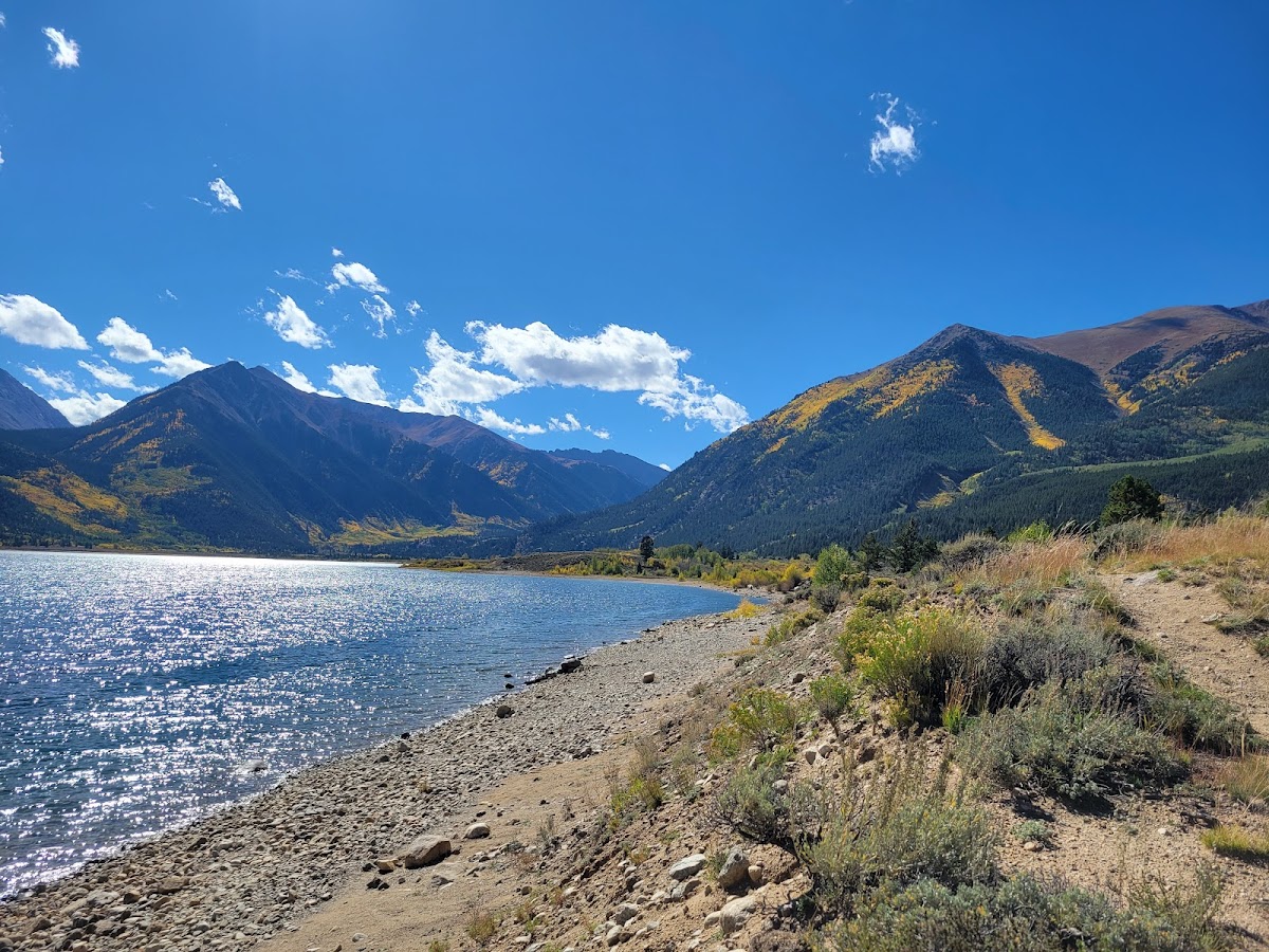
Cascade North Twin Road
Multi-Use Trail · WY
7.22
Miles
1,266
Ft Gain
Strenuous
mixed
Surface
Trail Details
- Distance
- 7.22 mi (11.62 km)
- Elevation Gain
- 1,266 ft (386 m)
- Elevation Loss
- 568 ft (173 m)
- Elevation Range
- 2938m - 3270m
- Difficulty
- strenuous
- Surface
- mixed
- Type
- Multi-Use Trail
- Route
- Out & Back
Elevation Profile
11.0 km total
0 km11.0 km
Trail data sourced from OpenStreetMap contributors. OSM Way #15703514.
Take This Trail Offline
Download the map for this area — topo, terrain, and trail lines work without cell signal.
Plan a Trip on This Trail
Organize a group hike, share gear lists, and coordinate logistics.
Create a Trip →