Back to Explore
🥾
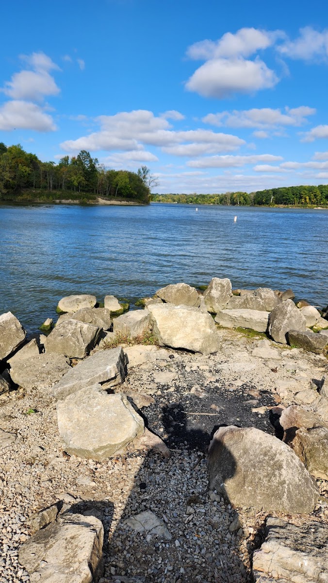
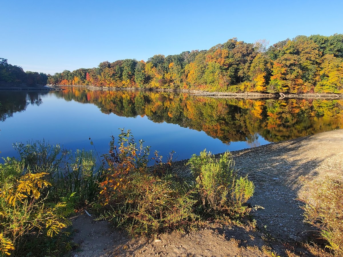
Alum Creek Phase 1
Hiking Trail · OH
5.72
Miles
213
Ft Gain
Moderate
dirt
Surface
🔄 Loop Trail
Trail Details
- Distance
- 5.72 mi (9.21 km)
- Elevation Gain
- 213 ft (65 m)
- Elevation Loss
- 213 ft (65 m)
- Elevation Range
- 272m - 284m
- Difficulty
- moderate
- Surface
- dirt
- Type
- Hiking Trail
- Route
- Loop
Elevation Profile
6.5 km total
0 km6.5 km
Access & Rules
🚴 Bikes OK🐴 No Horses
Trail data sourced from OpenStreetMap contributors. OSM Way #202759849.
Take This Trail Offline
Download the map for this area — topo, terrain, and trail lines work without cell signal.
Plan a Trip on This Trail
Organize a group hike, share gear lists, and coordinate logistics.
Create a Trip →