Back to Explore
🥾
added paths and corrected path shapes at Warnaar Trail
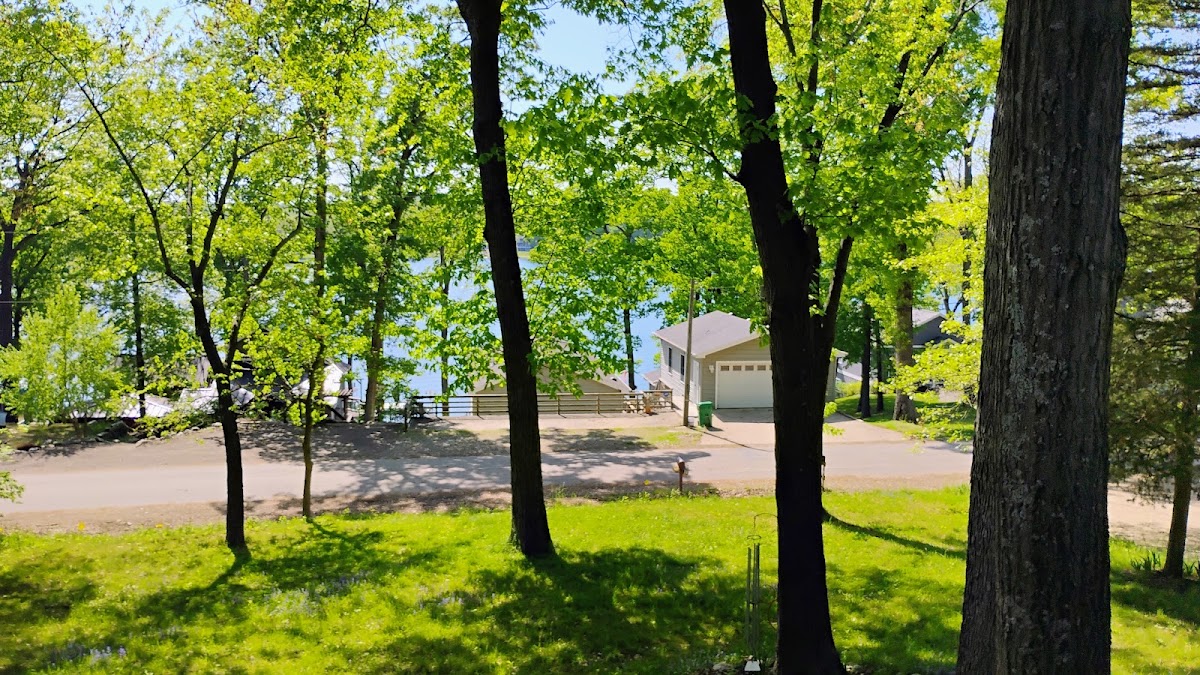
Hiking Trail · MI
1.72
Miles
171
Ft Gain
Easy
Trail Details
- Distance
- 1.72 mi (2.77 km)
- Elevation Gain
- 171 ft (52 m)
- Elevation Loss
- 194 ft (59 m)
- Elevation Range
- 252m - 281m
- Difficulty
- easy
- Surface
- —
- Type
- Hiking Trail
- Route
- Out & Back
Elevation Profile
2.7 km total
0 km2.7 km
Trail data sourced from OpenStreetMap contributors. OSM Way #1455010500.
Take This Trail Offline
Download the map for this area — topo, terrain, and trail lines work without cell signal.
Plan a Trip on This Trail
Organize a group hike, share gear lists, and coordinate logistics.
Create a Trip →