

Campground Map
Save this location for offline use before your trip. For best results, create/open a trip from this page and download the same area.
Nearby Trails
Tobacco House Ridge Trail
Beard's Gap Hollow Trail
Beards Gap Trail
Stony Run Trail
Buck Hollow Trail
Locust Gap Trail
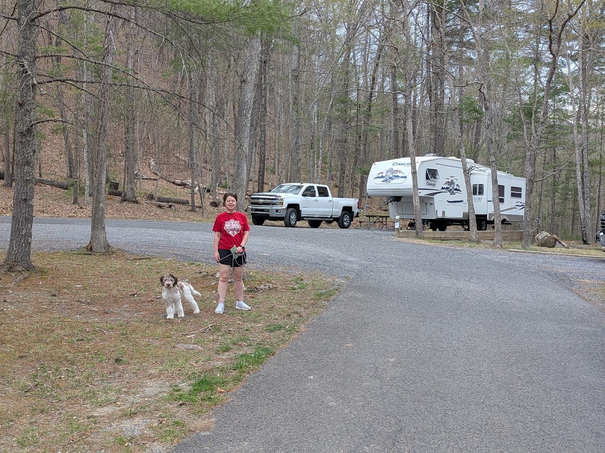
About this site
Oak Flat (Western Apache: Chíchʼil Bił Dagoteel, Navajo: Chéchʼil Bił Dahoteel) is a mesa in Pinal County about 40 miles (64 km) east of Phoenix in the Tonto National Forest. A high desert setting at 3,900 feet (1,200 m) elevation, the land is sacred to Native Americans from the San Carlos Apache Indian Reservation and many other Arizona tribes. S.
Forest Service public campground. The landscape includes Apache Leap cliff, the mesa of Oak Flat, and Devil's Canyon (Apaches refer to it as Ga'an Canyon, or "Angels Canyon"), all of which have long been popular with hikers, birders, climbers, off-roaders, hunters, and members of the area's indigenous tribes. Oak Flat has been subject to attempts by the federal government to exchange the site for lands owned by mining interests since 2002, against the wishes of the San Carlos Apache tribe.
Reviews
No reviews yet.
Reviews and photos are added by members after completing a trip here. Plan a trip to be the first!
Active Trips
0No active trips at White Oak Campground right now.
Start the first trip here