

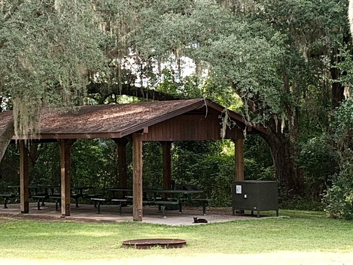
Mill Dam Recreation Area
campground Map
Save this location for offline use before your trip. For best results, create/open a trip from this page and download the same area.
About this site
Cagles Mill Lake, also known as Cataract Lake or Cagle's Mill Reservoir or Lieber Reservoir, is a reservoir located near Cataract, Indiana, in Lieber State Recreation Area, in west central Indiana on the borders of Putnam and Owen counties.
It was Indiana's first flood control reservoir.
Cagles Mill Dam is a flood control project of the United States Army Corps of Engineers (USACE), an earthen dam that was dedicated on 1952-06-18 and completed in December 1953.
Its purpose was to alleviate flood damage in the valleys of the Eel, the White, and the Wabash rivers.
The Lake is alimented from the north by Mill Creek and drains out through Mill Creek, once more.
Mill Creek flows into Deer Creek which in turn flows into the Eel River to its south, which then makes its way to the White River.
Mill Creek is named for a grist mill, Cagle Mill, that used to operate downstream of where the Lake now is.
The mill itself was destroyed and rebuilt several times over the years, finally vanishing for good in 1975.
However, its low-level dam still exists.
Near to the site of the mill are the Hoosier Highlands, a recreational area created in 1924, whose name was suggested by Indiana poet William Herschel.
Reviews
No reviews yet.
Reviews and photos are added by members after completing a trip here. Plan a trip to be the first!
Active Trips
0No active trips at Mill Dam Recreation Area right now.
Start the first trip hereCampground data provided by Recreation.gov · Updated Apr 2026
Reserve at Recreation.gov →