

Greenwood Day-Use Area
campground Map
Save this location for offline use before your trip. For best results, create/open a trip from this page and download the same area.
About this site
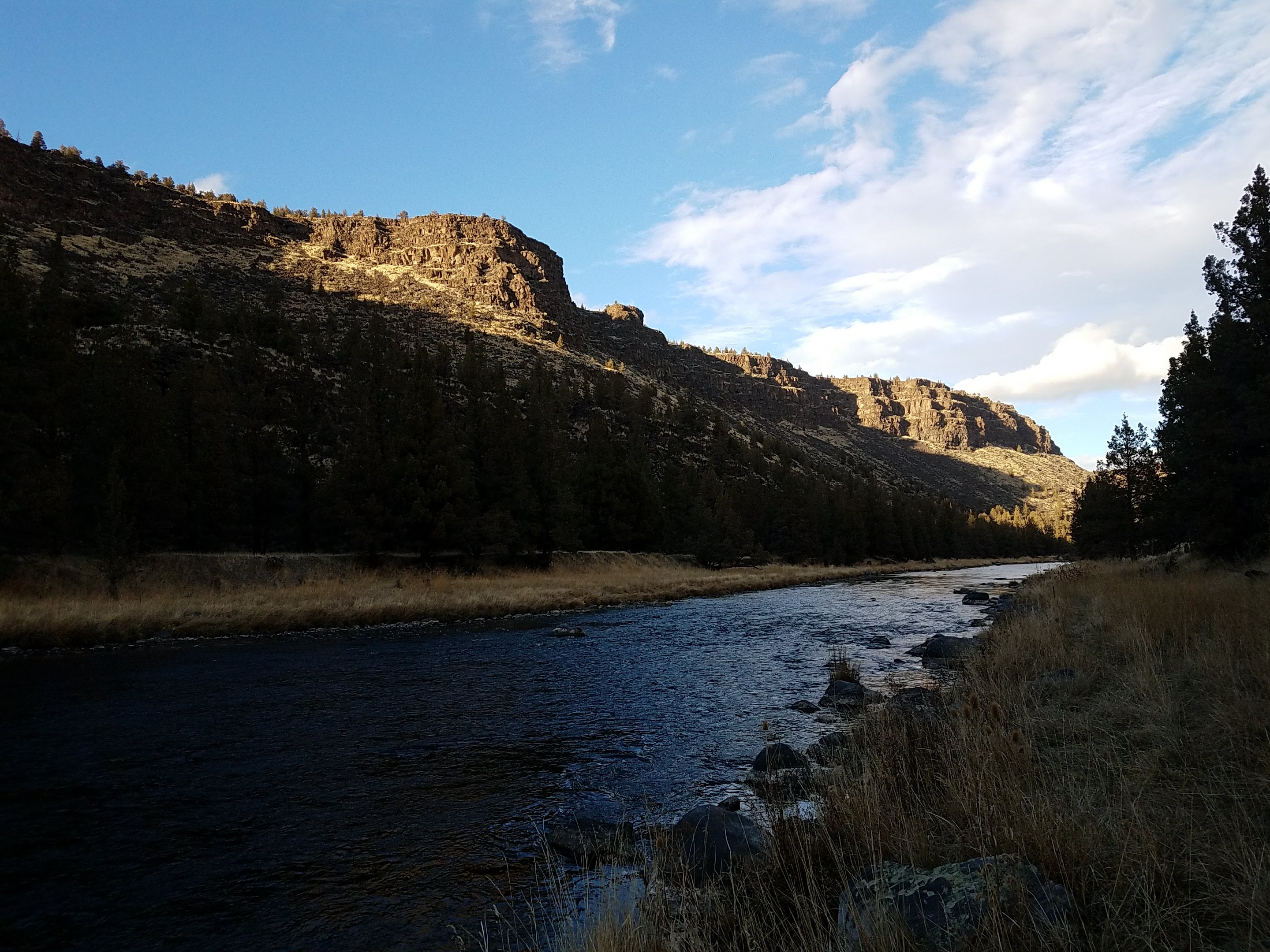
This small parking area has trails leading both up and down river providing plenty of angling access. Or, one can make use of the provided bench or step right down to the bank of the Crooked Wild and Scenic River. Know Before You Go: Open year-round for day-use only.
1 miles miles west (upriver) on State Highway 27. Cell phone service is not available at the site. Watch for bicyclists: the section of State Highway 27 between Prineville and Bowman Dam is designated as the Crooked River Canyon Scenic Bikeway.
Point of Interest: The views from this straight stretch of the Crooked River are dominated by near vertical cliff walls; photographers favor the site during the hours when low-angle lighting highlights the brilliant textures of the basaltic lava flows high above the river.
📞 541-416-6700
Reviews
No reviews yet.
Reviews and photos are added by members after completing a trip here. Plan a trip to be the first!
Active Trips
0No active trips at Greenwood Day-Use Area right now.
Start the first trip hereCampground data provided by Recreation.gov · Updated Apr 2026
Reserve at Recreation.gov →