

Campground Map
Save this location for offline use before your trip. For best results, create/open a trip from this page and download the same area.
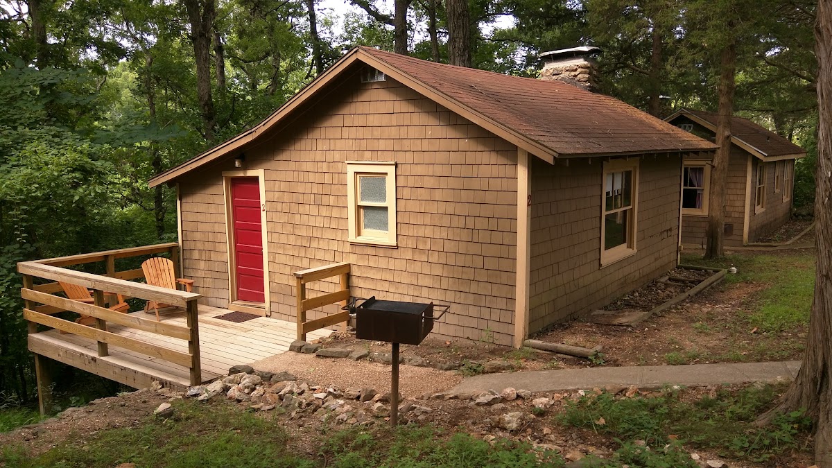
About this site
The Gasconade River is about 280 miles (450 km) long and is located in central and south-central Missouri.
The Gasconade River begins in the Ozarks southwest of Hartville in Wright County and flows generally north-northeastwardly through Wright, Laclede, Pulaski, Phelps, Maries, Osage and Gasconade counties, through portions of the Mark Twain National Forest. It flows into the Missouri River near the town of Gasconade in Gasconade County. At Rich Fountain, the river has a mean annual discharge of 3,097 cubic feet per second.
Reviews
No reviews yet.
Reviews and photos are added by members after completing a trip here. Plan a trip to be the first!
Active Trips
0No active trips at Gasconade Hills Resort right now.
Start the first trip here