

Trailhead Map
Save this location for offline use before your trip. For best results, create/open a trip from this page and download the same area.
0 saved offline packsView offline library
🥾
6 trails foundNearby Trails
🥾
Forney Ridge Trail
0.87 mi0 ft
Easy0.3 mi away
🥾
Forney Creek Trail
1.93 mi0 ft
Easy0.7 mi away
🥾
Appalachian Trail
3.44 mi584 ftdirt
Moderate1.5 mi away
🔀
Noland Divide Trail
3.67 mi49 ftdirt
Moderate1.8 mi away
🔀
Pole Road Creek Trail
3.13 mi7 ftdirt
Moderate3.4 mi away
🥾
Goshen Prong Trail
7.41 mi3,041 ftdirt
Strenuous3.8 mi away
About this site
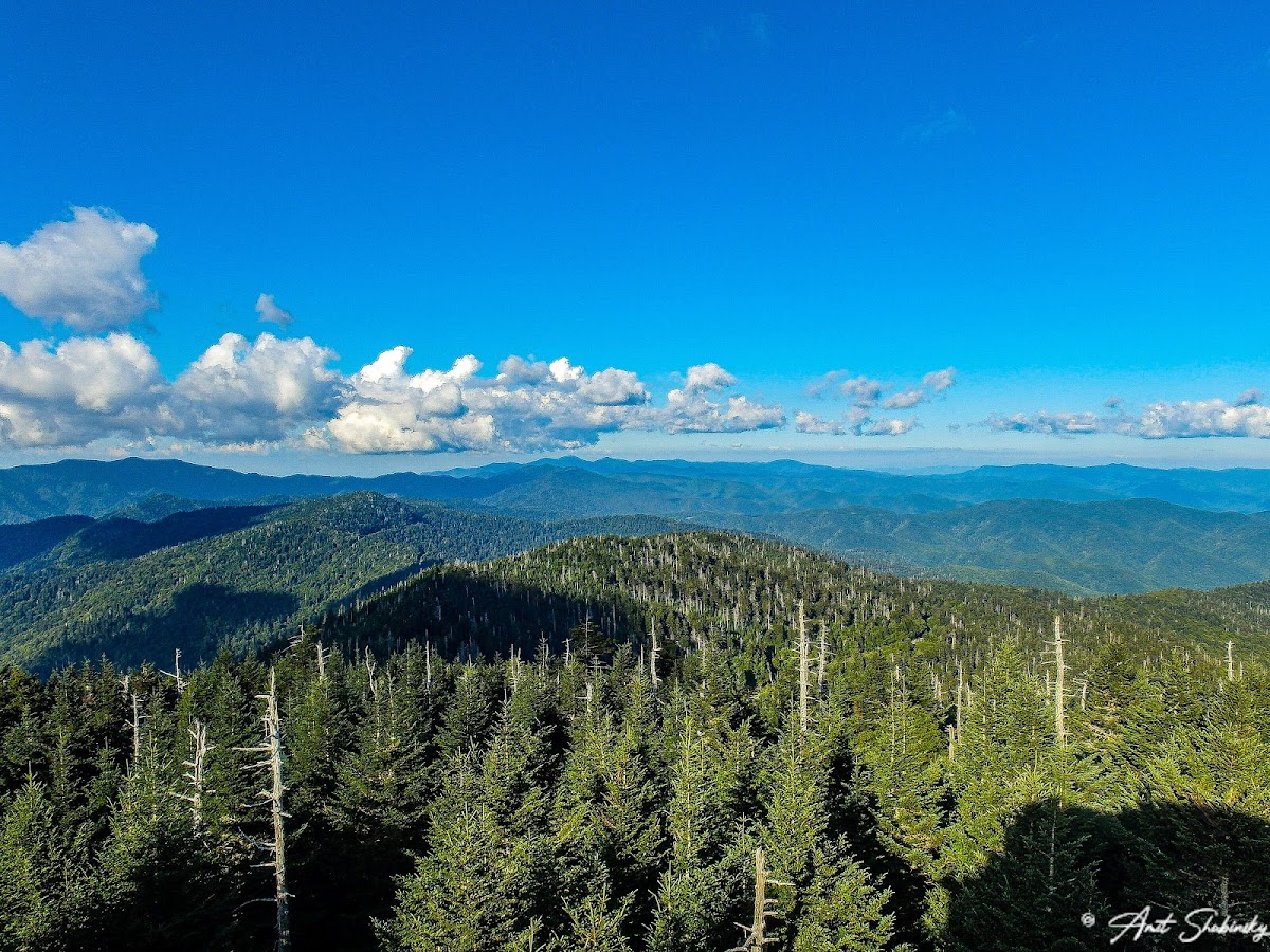
The Forney Ridge Trail is an American hiking trail, in the Great Smoky Mountains National Park of Swain County, North Carolina. The trail descends from just beneath the highest summit in the national park, Kuwohi, along Forney Ridge and passes through Andrews Bald, at an elevation of 5,920 feet, before terminating at a junction with the Springhouse Branch Trail.
Hiking AreaSports Activity Location
Reviews
No reviews yet.
Reviews and photos are added by members after completing a trip here. Plan a trip to be the first!
Active Trips
0No active trips at Forney Ridge Trailhead right now.
Start the first trip here