

Trailhead Map
Save this location for offline use before your trip. For best results, create/open a trip from this page and download the same area.
Nearby Trails
Appalachian Trail
Appalachian Trail
Road Prong Trail
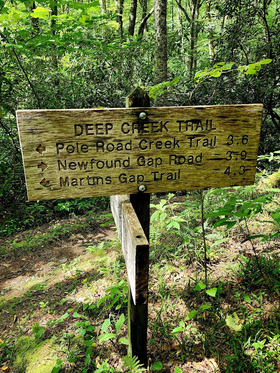
Deep Creek Trail
Noland Divide Trail
Forney Ridge Trail
About this site
S. Highway 34 that traverses Rocky Mountain National Park from Estes Park, Colorado in the east to Grand Lake, Colorado in the west. S.
Highway 36), Trail Ridge Road forms the 55-mile (89 km) Trail Ridge Road/Beaver Meadow National Scenic Byway, an All-American Road. With a high point at 12,183 feet (3,713 m) elevation, Trail Ridge Road is the highest continuous paved road in North America. The higher portion of Trail Ridge Road is closed from October to May.
Reviews
No reviews yet.
Reviews and photos are added by members after completing a trip here. Plan a trip to be the first!
Active Trips
0No active trips at Fork Ridge Trail Trailhead right now.
Start the first trip here