

Campground Map
Save this location for offline use before your trip. For best results, create/open a trip from this page and download the same area.
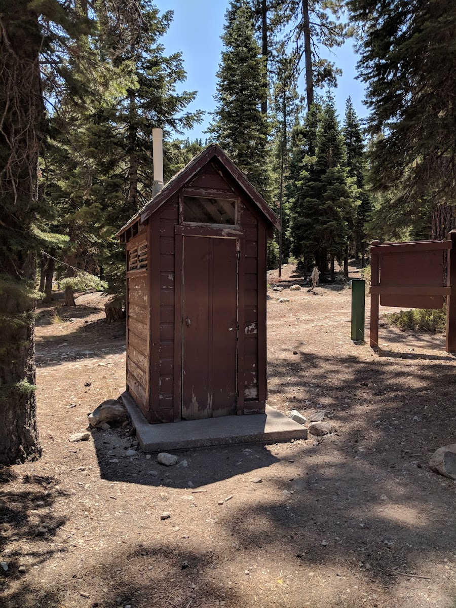
About this site
Mount Diablo is a mountain of the Diablo Range, in Contra Costa County of the eastern San Francisco Bay Area in Northern California. It is south of Clayton and northeast of Danville. It is an isolated upthrust peak of 3,849 feet (1,173 meters), visible from most of the San Francisco Bay Area. Mount Diablo appears from many angles to be a double pyramid and has many subsidiary peaks. The largest and closest is North Peak, the other half of the double pyramid, which is nearly as high in elevation at 3,557 feet (1,084 m), and is about one mile (1.6 kilometers) northeast of the main summit.
The mountain is within the boundaries of Mount Diablo State Park, which is administered by California State Parks.
Reviews
No reviews yet.
Reviews and photos are added by members after completing a trip here. Plan a trip to be the first!
Active Trips
0No active trips at Diablo Campground right now.
Start the first trip here