

Chimney Rock Trail
campground Map
Save this location for offline use before your trip. For best results, create/open a trip from this page and download the same area.
About this site
Take a break from your scenic drive along the Lower Crooked Wild and Scenic River south of Prineville and hike one of the gems of the High Desert. Walk in the shadows of lichen-covered basalt cliffs as you zigzag up and out of the river canyon to spectacular views of Central Oregon. 3 miles and ends at the namesake chimney basalt rock formation.
Pause on one of the benches along the way for a drink of water and just absorb the beauty of the area before heading back to your car and the rest of your travels. Know Before You Go: Open YEAR ROUND but really nice in the spring or fall when a little moisture has tamped down the dust. 6 miles round trip and a little steep at points.
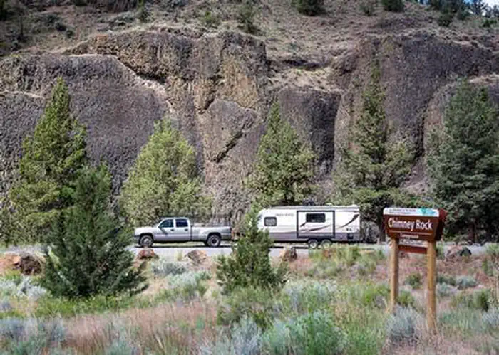
Amenities The trail is near Chimney Rock campground, with toilets and potable water near campsite 8. Pets are allowed but should on leash—and please pack out any waste! Point of Interest: This part of the Lower Crooked River has 9 campgrounds and 2 day-use areas.
Come for the hike and stay for some wildlife viewing, fly-fishing, and camping!
📞 541-416-6700
Reviews
No reviews yet.
Reviews and photos are added by members after completing a trip here. Plan a trip to be the first!
Active Trips
0No active trips at Chimney Rock Trail right now.
Start the first trip hereCampground data provided by Recreation.gov · Updated Apr 2026
Reserve at Recreation.gov →