

Trailhead Map
Save this location for offline use before your trip. For best results, create/open a trip from this page and download the same area.
Nearby Trails
Cheaha Express Trail
Cave Creek Trail
Deer Run Trail
Upper Spring Trail
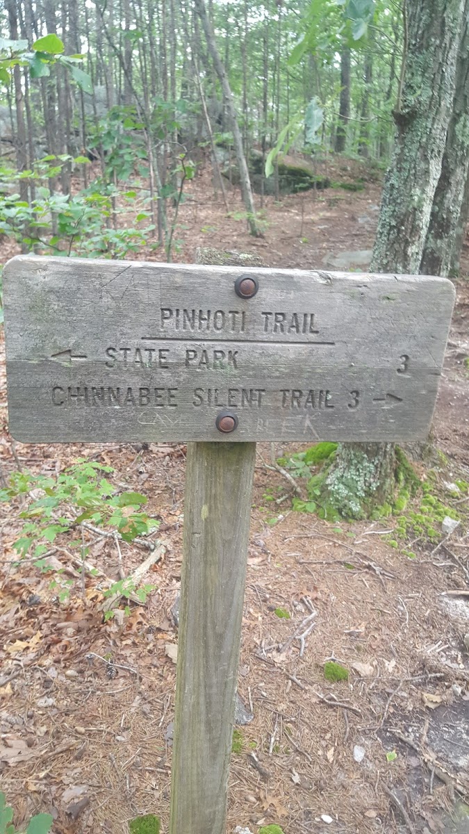
Chinnabee Silent Trail
Chinnabee Silent Trail
About this site
The Pinhoti Trail is a Southern Appalachian Mountains long-distance trail, 335 miles (540 km) in length, located in the United States within the states of Alabama and Georgia. The trail's southern terminus is on Flagg Mountain, near Weogufka, Alabama, the southernmost peak in the state that rises over 1,000 feet (300 m). (The mountain is often called the southernmost Appalachian peak, though by most geological reckonings, the actual Appalachian range ends somewhat farther north in Alabama.) The trail's northern terminus is where it joins the Benton MacKaye Trail. The trail's highest point is Buddy Cove Gap, with an elevation of
3164 feet near the Cohutta Wilderness. Its lowest point above sea level is close to Weogufka Creek near Weogufka State Forest at 545 feet.
The Pinhoti Trail is a part of the Eastern Continental Trail and the Great Eastern Trail, both very long-distance US hiking trails connecting multiple states.
Reviews
No reviews yet.
Reviews and photos are added by members after completing a trip here. Plan a trip to be the first!
Active Trips
0No active trips at Cheaha Pinhoti Trailhead right now.
Start the first trip here