

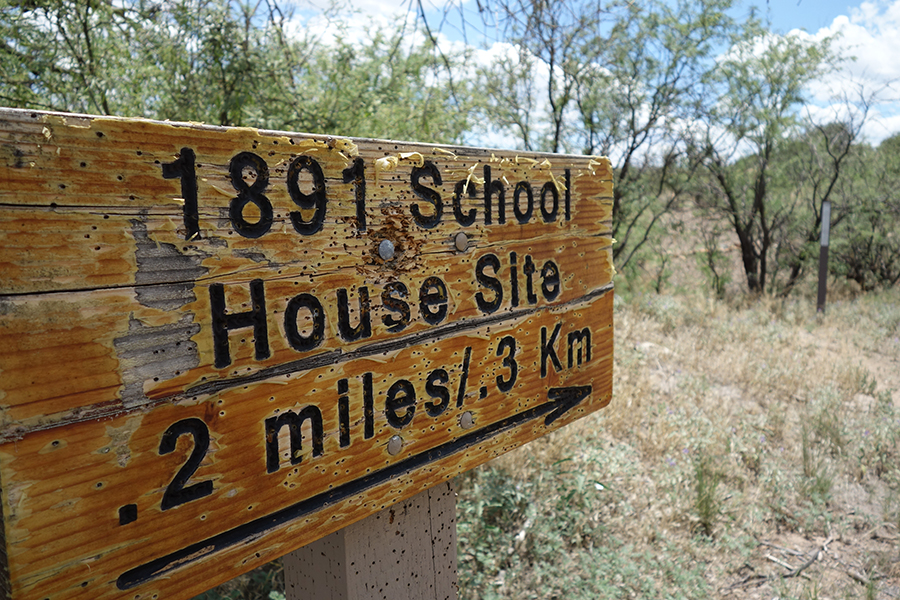
1891 Schoolhouse
campground Map
Save this location for offline use before your trip. For best results, create/open a trip from this page and download the same area.
About this site
A short trail leads from the parking area to the site of the 1891 Schoolhouse, which operated along the Agua Fria River until 1903. On Sept. S.
Deputy Surveyor Francis B. Jacobs recorded a schoolhouse at this location along the Agua Fria River. Over 118 years later, Jacobs' map and field notes were rediscovered, spawning a search for information about the school and its location.
” Using field notes and the map as a guide, the location of the schoolhouse was identified. Although the building is gone, the sense of place is still intact. The remoteness and its history exemplify the need, importance, and desire of the settlers of Territorial Arizona for their children to get an education.
Students would walk and ride horses and wagons to this distant location to meet in a single-room schoolhouse. Here they learned, played, and socialized in order to better themselves, their community and country. What once stood here?
” Based on archaeological artifacts, the partial remains of the rock foundation, historical documentation, and known construction techniques used at other contemporaneous schools in the area, the following can be surmised about the schoolhouse: it measured approximately 16 feet by 28 feet, was a wooden frame structure with a wooden floor resting directly on a rock foundation, and most likely had vertical board siding. In addition, the school had multiple windows and, what as was custom of the time, a single entrance door.
📞 602-867-5400
Reviews
No reviews yet.
Reviews and photos are added by members after completing a trip here. Plan a trip to be the first!
Active Trips
0No active trips at 1891 Schoolhouse right now.
Start the first trip hereCampground data provided by Recreation.gov · Updated Apr 2026
Reserve at Recreation.gov →